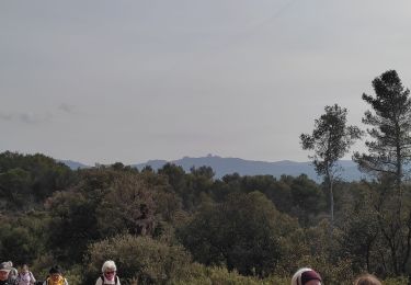
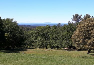
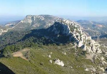
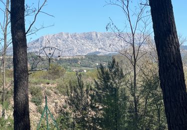
6.6 km | 8.7 km-effort
le mur de Gueydan
amiral13
User GUIDE
Length
5.5 km
Max alt
297 m
Uphill gradient
196 m
Km-Effort
8.1 km
Min alt
199 m
Downhill gradient
196 m
Boucle
Yes
Creation date :
2018-04-17 10:48:57.925
Updated on :
2018-04-17 10:48:57.925
1h49
Difficulty : Very easy
FREE GPS app for hiking
About
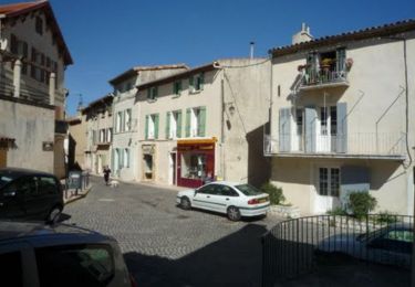
Trail Walking of 5.5 km to be discovered at Provence-Alpes-Côte d'Azur, Bouches-du-Rhône, Gardanne. This trail is proposed by amiral13.
Positioning
Country:
France
Region :
Provence-Alpes-Côte d'Azur
Department/Province :
Bouches-du-Rhône
Municipality :
Gardanne
Location:
Unknown
Start:(Dec)
Start:(UTM)
698606 ; 4816375 (31T) N.
Comments
Trails nearby
Balade à Bouc Bel Air
Running
Medium
(1)
Bouc-Bel-Air,
Provence-Alpes-Côte d'Azur,
Bouches-du-Rhône,
France
34min
Yes
Aix En Provence - St Beaume
Walking
Difficult
(1)
Aix-en-Provence,
Provence-Alpes-Côte d'Azur,
Bouches-du-Rhône,
France
65 km | 94 km-effort
19h 29min
No
MOUNINE
Mountain bike
Difficult
(2)
Bouc-Bel-Air,
Provence-Alpes-Côte d'Azur,
Bouches-du-Rhône,
France
20 km | 28 km-effort
3h 0min
Yes
Bouc bel air
Walking
Medium
Bouc-Bel-Air,
Provence-Alpes-Côte d'Azur,
Bouches-du-Rhône,
France
8.9 km | 11.7 km-effort
2h 44min
Yes
bouc cabries par les crêtes
Walking
Very easy
(1)
Bouc-Bel-Air,
Provence-Alpes-Côte d'Azur,
Bouches-du-Rhône,
France
3.5 km | 4.7 km-effort
47min
Yes
boucle Gardanne la diote
Mountain bike
Easy
Gardanne,
Provence-Alpes-Côte d'Azur,
Bouches-du-Rhône,
France
11 km | 14.2 km-effort
2h 16min
Yes
Pilon du Roi
Mountain bike
Difficult
Simiane-Collongue,
Provence-Alpes-Côte d'Azur,
Bouches-du-Rhône,
France
18.2 km | 25 km-effort
2h 0min
Yes
Pont Arc-Montaiguet-Pont Arc
Walking
Easy
(1)
Aix-en-Provence,
Provence-Alpes-Côte d'Azur,
Bouches-du-Rhône,
France
5.5 km | 7.7 km-effort
1h 17min
Yes
Gardanne Martine
sport
Very easy
Gardanne,
Provence-Alpes-Côte d'Azur,
Bouches-du-Rhône,
France
9.7 km | 12.2 km-effort
Unknown
Yes