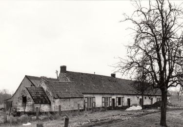
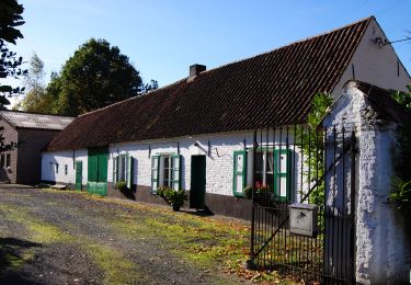
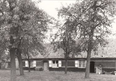
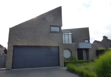
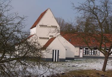
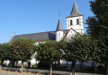
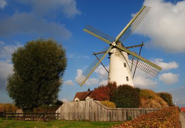
Trail Walking Ghent - drongen gent 23,5 km - Photo

drongen gent 23,5 km

 rvapeldo
rvapeldo

User GUIDE

© OpenStreetMap contributors
Length
Length
23 km
Max alt
Max alt
19 m
Uphill gradient
Uphill gradient
145 m
Km-Effort
Km-Effort  
25 km
Min alt
Min alt
-8 m
Downhill gradient
Downhill gradient
142 m
Boucle
Boucle
Yes
Creation date :
2018-10-06 08:27:31.027
Updated on :
2018-10-06 08:27:31.135

(0 Reviews)

Walking
Walking
6h27
Difficulty : Very easy

Scan this QR Code to open this trail in the SityTrail application

FREE GPS app for hiking

Logo SityTrail SityTrail

IGN / Geographical institutes

Download SityTrail from the App Store Download SityTrail from Google Play

Logo SityTrail SityTrail World

The world is yours!

Download SityTrail from the App Store Download SityTrail from Google Play Download SityTrail on Huawei AppGallery

About

Trail Walking of 23 km to be discovered at Flanders, East Flanders, Ghent. This trail is proposed by rvapeldo.

Elevation profile

Positioning

Country:
Belgium
Region :
Flanders
Department/Province :
East Flanders
Municipality :
Ghent
Location:
Drongen
Start:(UTM)
546617 ; 5655562 (31U) N.

Trails nearby

Trail Electric bike Ghent - fietstocht  13-06-2021 sterretrappers - Photo
Electric bike
deschepper

Electric bike

Very easy
(1)
Ghent, Flanders, East Flanders, Belgium
33 km | 36 km-effort
Unknown
Yes
Trail On foot Ghent - Door Luchteren en Oude Kale - Photo
On foot
GUIDE+

On foot

Easy
Ghent, Flanders, East Flanders, Belgium
9.7 km | 10.4 km-effort
2h 21min
Yes
Trail On foot Ghent - Vinderhoutse Bossen wandeling - Photo
On foot
GUIDE+

On foot

Easy
Ghent, Flanders, East Flanders, Belgium
9.8 km | 10.6 km-effort
2h 24min
Yes
Trail On foot Ghent - Campagne wandeling - Photo
On foot
GUIDE+

On foot

Easy
Ghent, Flanders, East Flanders, Belgium
7 km | 7.5 km-effort
1h 41min
Yes
Trail On foot Ghent - Claeys-Boúúaert wandeling - Photo
On foot
GUIDE+

On foot

Easy
Ghent, Flanders, East Flanders, Belgium
9.3 km | 10 km-effort
2h 15min
Yes
Trail On foot Ghent - Leeuwenhof wandeling - Photo
On foot
GUIDE+

On foot

Easy
Ghent, Flanders, East Flanders, Belgium
4.4 km | 4.8 km-effort
1h 4min
Yes
Trail On foot Ghent - Bourgoyen-Ossemeersen - Bourgoyenpad - Photo
On foot
GUIDE+

On foot

Easy
Ghent, Flanders, East Flanders, Belgium
5.1 km | 5.7 km-effort
1h 18min
Yes
Trail On foot Sint-Martens-Latem - Albijn Van Den Abeele Route - Photo
On foot
GUIDE+

On foot

Easy
Sint-Martens-Latem, Flanders, East Flanders, Belgium
8.3 km | 9 km-effort
2h 3min
Yes
Trail On foot Deinze - Oude Kalevallei - Lus 2 - Photo
On foot
GUIDE+

On foot

Easy
Deinze, Flanders, East Flanders, Belgium
3.7 km | 3.9 km-effort
53min
Yes


Close
My subscriptions