11.7 km | 16.3 km-effort
Cambes Corn Bélinac Assier
goutal
User
Length
27 km
Max alt
381 m
Uphill gradient
467 m
Km-Effort
33 km
Min alt
177 m
Downhill gradient
465 m
Boucle
Yes
Creation date :
2018-04-17 10:36:27.401
Updated on :
2018-04-17 10:36:27.401
2h30
Difficulty : Easy
FREE GPS app for hiking
About
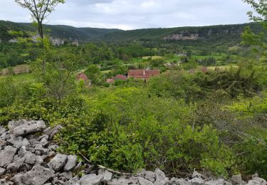
Trail Mountain bike of 27 km to be discovered at Occitania, Lot, Cambes. This trail is proposed by goutal.
Description
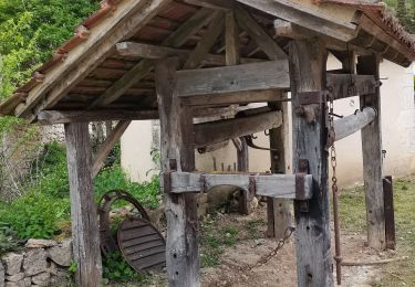
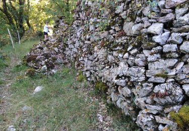
Cambes, moulin de Cavarrot, Corn, remonter vers Bélinac, Bresquéjouls, Assier et retour par Faillères, Puy Blanc...
Positioning
Country:
France
Region :
Occitania
Department/Province :
Lot
Municipality :
Cambes
Location:
Unknown
Start:(Dec)
Start:(UTM)
415871 ; 4941599 (31T) N.
Comments
Trails nearby
Rando VTT 17km autour de Reyrevignes
Walking
Very difficult
(1)
Reyrevignes,
Occitania,
Lot,
France
15.9 km | 19.1 km-effort
4h 20min
Yes
Le causse par lacoste
Walking
Very easy
(1)
Corn,
Occitania,
Lot,
France
8.4 km | 11.7 km-effort
2h 38min
Yes
Sainte Eulalie Crayssac
Walking
Very easy
Corn,
Occitania,
Lot,
France
11.7 km | 16.6 km-effort
3h 31min
Yes
Corn Mas de Léret
Walking
Very easy
Corn,
Occitania,
Lot,
France
4.1 km | 5.8 km-effort
1h 43min
Yes
La Cazelle-Camburat-Mouret-La Cazelle
Equestrian
Easy
(1)
Lissac-et-Mouret,
Occitania,
Lot,
France
13.9 km | 17.5 km-effort
2h 43min
Yes
Reyrevignes et ses lavoirs
Walking
Easy
(1)
Reyrevignes,
Occitania,
Lot,
France
7.9 km | 9.4 km-effort
2h 3min
Yes