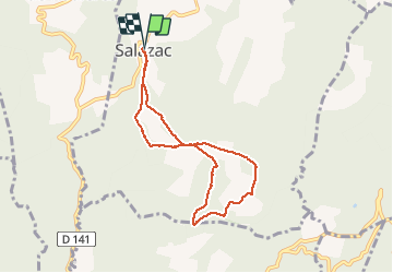

3.3 km | 4.4 km-effort


User


FREE GPS app for hiking
 SityTrail
IGN / Geographical institutes
SityTrail World
The world is yours!
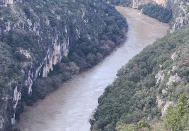
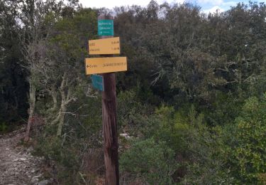
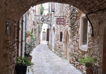
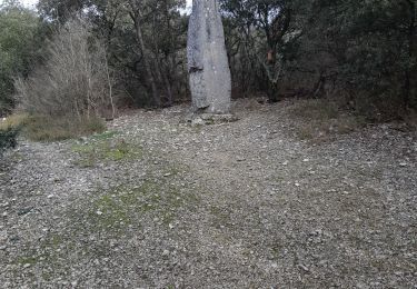
Trail Walking of 7.2 km to be discovered at Occitania, Gard, Salazac. This trail is proposed by grouard.
petite rando au paty de salazac point de depart la mairie de salazac il y a un parking sous la mairie
Walking
Walking

Walking
Walking

Walking
Walking
Walking