


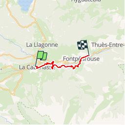

24 km | 43 km-effort


User


FREE GPS app for hiking
 SityTrail
IGN / Geographical institutes
SityTrail World
The world is yours!
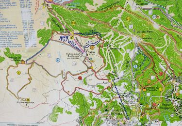
Trail Walking of 10.6 km to be discovered at Occitania, Pyrénées-Orientales, La Cabanasse. This trail is proposed by bfrogneux.
Rando 5 - Les PO à pied

Walking

Walking

Walking

Walking

Walking
Walking
Walking

Walking
Walking