12.6 km | 17 km-effort
PLANÈZES (10/10/2017)
Richard68500
User
Length
9.9 km
Max alt
251 m
Uphill gradient
275 m
Km-Effort
13.6 km
Min alt
93 m
Downhill gradient
272 m
Boucle
Yes
Creation date :
2018-04-17 10:21:59.889
Updated on :
2018-09-28 16:29:31.674
3h00
Difficulty : Easy
FREE GPS app for hiking
About
Trail Walking of 9.9 km to be discovered at Occitania, Pyrénées-Orientales, Planèzes. This trail is proposed by Richard68500.
Description
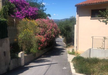
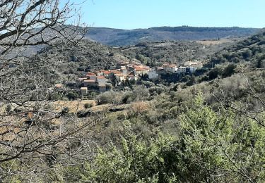
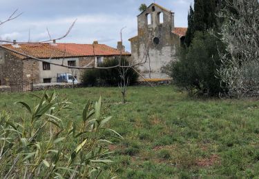
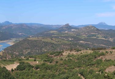
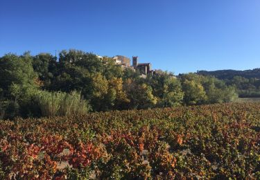
Dans un paysage de vignoble au-dessus de l'AGLY entre Rasigueres et Latour-de-France dans les Pyrénées-Orientales.
Positioning
Country:
France
Region :
Occitania
Department/Province :
Pyrénées-Orientales
Municipality :
Planèzes
Location:
Unknown
Start:(Dec)
Start:(UTM)
468660 ; 4735046 (31T) N.
Comments
Trails nearby
Le dernier bastion cathare
Walking
Difficult
(1)
Maury,
Occitania,
Pyrénées-Orientales,
France
3h 56min
Yes
CARAMANY 66 - balcons retenue sur l'Agly
Walking
Medium
(3)
Caramany,
Occitania,
Pyrénées-Orientales,
France
25 km | 34 km-effort
3h 59min
Yes
pic d'abeille
Walking
Very easy
(2)
Cassagnes,
Occitania,
Pyrénées-Orientales,
France
8.1 km | 10.8 km-effort
3h 0min
Yes
Montner Força Réal et château de Caladroy
Walking
Difficult
Montner,
Occitania,
Pyrénées-Orientales,
France
18.4 km | 26 km-effort
5h 43min
Yes
caramany
Walking
Medium
Caramany,
Occitania,
Pyrénées-Orientales,
France
8 km | 11.4 km-effort
3h 27min
Yes
Latour de France 08/12/2021
Walking
Medium
Latour-de-France,
Occitania,
Pyrénées-Orientales,
France
12.4 km | 16.2 km-effort
3h 12min
Yes
F66 Cassagnes pic Aubeill
Walking
Easy
Cassagnes,
Occitania,
Pyrénées-Orientales,
France
6.3 km | 8.4 km-effort
2h 20min
No
66 LATOUR-DE-FRANCE, visite du village, massif de Tourèze et vallée de l'Agly
Walking
Medium
Latour-de-France,
Occitania,
Pyrénées-Orientales,
France
8.3 km | 11 km-effort
1h 47min
Yes
mas amiel
Walking
Very easy
Tautavel,
Occitania,
Pyrénées-Orientales,
France
19 km | 24 km-effort
6h 15min
Yes