


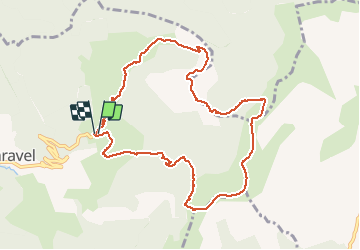

9.4 km | 18.4 km-effort


User


FREE GPS app for hiking
 SityTrail
IGN / Geographical institutes
SityTrail World
The world is yours!
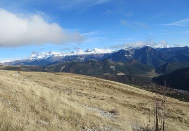
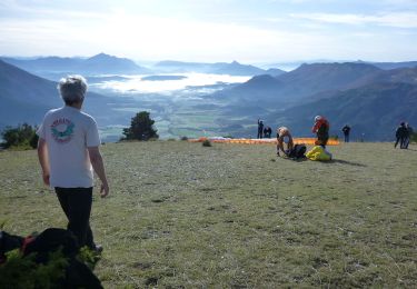
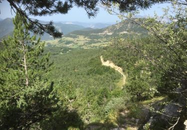
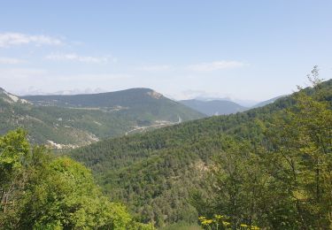
Trail Walking of 10.5 km to be discovered at Auvergne-Rhône-Alpes, Drôme, Val-Maravel. This trail is proposed by rigol05.
Sortie du 09/10/2017Au départ du PilhonDans la première partie il est préférable de garder la piste.Le raccourci est envahi de branchage le rendant impraticable.

Walking
Walking
Walking
Walking
Walking
Walking
Walking

Walking
Walking