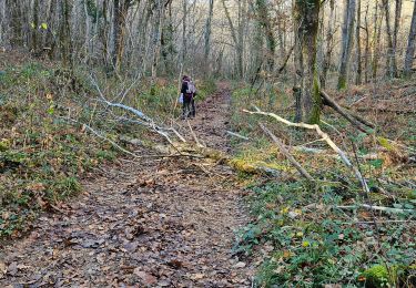
9 km | 10.7 km-effort
Boucle des Andrivaux (Terrassonnie/Chancelade)
CC.RIDER
User
Length
6.5 km
Max alt
190 m
Uphill gradient
165 m
Km-Effort
8.7 km
Min alt
96 m
Downhill gradient
163 m
Boucle
Yes
Creation date :
2018-04-17 10:03:53.177
Updated on :
2018-04-17 10:03:53.177
1h51
Difficulty : Easy
FREE GPS app for hiking
About
Trail Walking of 6.5 km to be discovered at New Aquitaine, Dordogne, Chancelade. This trail is proposed by CC.RIDER.
Description
Petite randonnée
Positioning
Country:
France
Region :
New Aquitaine
Department/Province :
Dordogne
Municipality :
Chancelade
Location:
Unknown
Start:(Dec)
Start:(UTM)
314887 ; 5008346 (31T) N.
Comments
Trails nearby
La Chapelle Gonaguet 9 km
Walking
Medium
La Chapelle-Gonaguet,
New Aquitaine,
Dordogne,
France
2h 26min
Yes
Gravelle
Walking
Difficult
Annesse-et-Beaulieu,
New Aquitaine,
Dordogne,
France
11.5 km | 13.5 km-effort
3h 4min
Yes
Circuit de l'Abbaye de Chancelade
Walking
Difficult
Chancelade,
New Aquitaine,
Dordogne,
France
12.8 km | 18.3 km-effort
4h 9min
Yes
Boucle de Gravelle
Walking
Difficult
Annesse-et-Beaulieu,
New Aquitaine,
Dordogne,
France
13.1 km | 16.2 km-effort
3h 40min
Yes
Boucle du bois de Lavergne
Walking
Difficult
Château-l'Évêque,
New Aquitaine,
Dordogne,
France
14.1 km | 17.8 km-effort
4h 2min
Yes
Boucle de Razac sur l'Isle
Walking
Difficult
Razac-sur-l'Isle,
New Aquitaine,
Dordogne,
France
13.2 km | 16.3 km-effort
3h 41min
Yes
Boucle des Andrivaux
Walking
Very difficult
Chancelade,
New Aquitaine,
Dordogne,
France
14.8 km | 19.3 km-effort
4h 23min
Yes
Boucle de la Terrassonnie
Walking
Easy
Chancelade,
New Aquitaine,
Dordogne,
France
11.2 km | 14.7 km-effort
3h 37min
Yes
randogps24-689
Walking
Difficult
Annesse-et-Beaulieu,
New Aquitaine,
Dordogne,
France
11.8 km | 14.7 km-effort
3h 19min
No