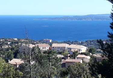
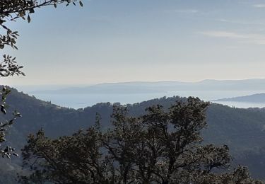
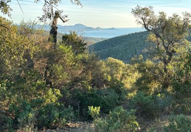
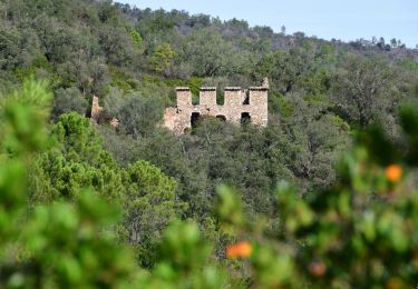
8.3 km | 12.2 km-effort
massif des maures
melsacri
User
Length
22 km
Max alt
399 m
Uphill gradient
654 m
Km-Effort
31 km
Min alt
28 m
Downhill gradient
703 m
Boucle
No
Creation date :
2018-04-17 00:09:33.95
Updated on :
2018-04-17 00:09:33.95
1h24
Difficulty : Unknown
FREE GPS app for hiking
About
Trail Other activity of 22 km to be discovered at Provence-Alpes-Côte d'Azur, Var, Sainte-Maxime. This trail is proposed by melsacri.
Positioning
Country:
France
Region :
Provence-Alpes-Côte d'Azur
Department/Province :
Var
Municipality :
Sainte-Maxime
Location:
Unknown
Start:(Dec)
Start:(UTM)
309307 ; 4805818 (32T) N.
Comments
Trails nearby
200526 Les Issambres
Walking
Medium
(1)
Roquebrune-sur-Argens,
Provence-Alpes-Côte d'Azur,
Var,
France
2h 33min
Yes
la Gaillarde
Walking
Easy
Roquebrune-sur-Argens,
Provence-Alpes-Côte d'Azur,
Var,
France
6.5 km | 10.1 km-effort
1h 59min
Yes
Gaillarde
Walking
Easy
(3)
Roquebrune-sur-Argens,
Provence-Alpes-Côte d'Azur,
Var,
France
8.3 km | 12.7 km-effort
2h 40min
Yes
petites maures
Walking
Difficult
Fréjus,
Provence-Alpes-Côte d'Azur,
Var,
France
12.9 km | 17.5 km-effort
4h 47min
No
Col du Bougnon : la Garonnette
Walking
Medium
Roquebrune-sur-Argens,
Provence-Alpes-Côte d'Azur,
Var,
France
17.6 km | 28 km-effort
6h 16min
Yes
La Bergerie - Piste des Clapiers - Bastide Abbe
Walking
Easy
Roquebrune-sur-Argens,
Provence-Alpes-Côte d'Azur,
Var,
France
10.2 km | 13.4 km-effort
2h 39min
Yes
LES ISSAMBRES - BOUCLE PAR SAN PEIRE
Walking
Easy
Roquebrune-sur-Argens,
Provence-Alpes-Côte d'Azur,
Var,
France
8.8 km | 11.5 km-effort
5h 6min
Yes
Gaillarde-Baronne
Walking
Easy
Roquebrune-sur-Argens,
Provence-Alpes-Côte d'Azur,
Var,
France
11.5 km | 16.3 km-effort
2h 38min
Yes
Col du Bougnon - Peigros
Walking
Very difficult
(2)
Roquebrune-sur-Argens,
Provence-Alpes-Côte d'Azur,
Var,
France
15.9 km | 24 km-effort
4h 4min
No