21 km | 23 km-effort
2017-09-29 Ondres -Hendaye
eric.mignot
User
Length
67 km
Max alt
79 m
Uphill gradient
771 m
Km-Effort
77 km
Min alt
-2 m
Downhill gradient
765 m
Boucle
No
Creation date :
2018-04-16 23:54:15.479
Updated on :
2018-04-16 23:54:15.479
6h00
Difficulty : Medium
FREE GPS app for hiking
About
Trail Cycle of 67 km to be discovered at New Aquitaine, Landes, Ondres. This trail is proposed by eric.mignot.
Description
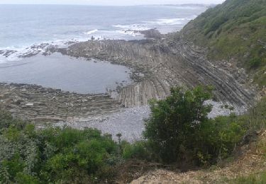
de Ondres (au nord de Bayonne)à Hendaye, par Boucau, Bayonne, Biarritz, Bidart, Guethary, St-Jean-de-Luz et Ciboure
Positioning
Country:
France
Region :
New Aquitaine
Department/Province :
Landes
Municipality :
Ondres
Location:
Unknown
Start:(Dec)
Start:(UTM)
624805 ; 4824860 (30T) N.
Comments
Trails nearby
Piste cyclable de Tarnos et Ondres
Cycle
Medium
(1)
Tarnos,
New Aquitaine,
Landes,
France
2h 0min
No
JFT YB ETAPE 22 20-5-2014
Walking
Medium
Tarnos,
New Aquitaine,
Landes,
France
40 km | 47 km-effort
9h 59min
No
Pinède ondres
Walking
Easy
(2)
Ondres,
New Aquitaine,
Landes,
France
9.1 km | 10.1 km-effort
2h 14min
Yes
Marais d'Orx et alentours
Walking
Medium
Labenne,
New Aquitaine,
Landes,
France
15.5 km | 17.6 km-effort
3h 30min
Yes
Pinède Ondres Jaune
On foot
Easy
Labenne,
New Aquitaine,
Landes,
France
5.4 km | 6.1 km-effort
1h 22min
No
Promenade sud côte Landaise
Walking
Very easy
Tarnos,
New Aquitaine,
Landes,
France
8.1 km | 8.7 km-effort
2h 49min
Yes
Ondres nord 5.1
Walking
Very easy
Ondres,
New Aquitaine,
Landes,
France
9.1 km | 9.8 km-effort
3h 10min
Yes
Ondres Hossegor
Cycle
Very easy
Ondres,
New Aquitaine,
Landes,
France
38 km | 42 km-effort
3h 21min
Yes
Ondres 1
Walking
Very easy
Ondres,
New Aquitaine,
Landes,
France
7.8 km | 8.5 km-effort
2h 42min
Yes