


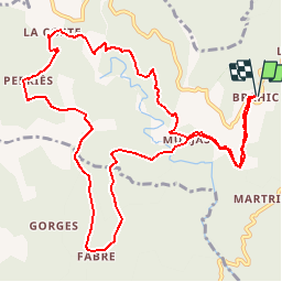

11.9 km | 20 km-effort


User


FREE GPS app for hiking
 SityTrail
IGN / Geographical institutes
SityTrail World
The world is yours!
Trail Walking of 13.5 km to be discovered at Auvergne-Rhône-Alpes, Ardèche, Les Vans. This trail is proposed by JEANPIERRE2.
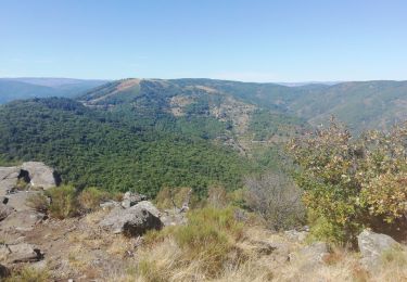
TRES BELLE RANDONNEE CEVENOLE QUI SURPLOMBE LA GANIERE ET OFFRE DE BEAUX POINTS DE VUE SUR LA VALLEE. Avant MURJAS, descente raide et glissante.

Walking

Walking

Walking

Walking
Walking

Walking
Walking
Walking

Walking
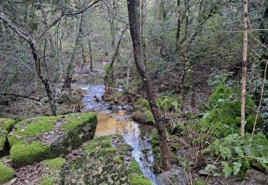
descente très escarpées