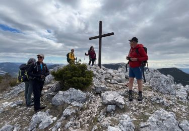
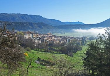
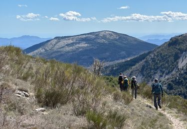
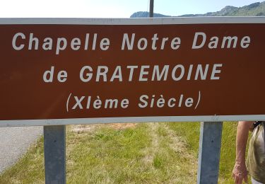
23 km | 37 km-effort
Le Teillon par Peyroules 3542 OT
verotrail
User
Length
12.6 km
Max alt
1885 m
Uphill gradient
896 m
Km-Effort
25 km
Min alt
1030 m
Downhill gradient
894 m
Boucle
Yes
Creation date :
2018-04-16 23:33:47.583
Updated on :
2018-04-16 23:33:47.583
4h55
Difficulty : Difficult
FREE GPS app for hiking
About
Trail Walking of 12.6 km to be discovered at Provence-Alpes-Côte d'Azur, Alpes-de-Haute-Provence, Peyroules. This trail is proposed by verotrail.
Positioning
Country:
France
Region :
Provence-Alpes-Côte d'Azur
Department/Province :
Alpes-de-Haute-Provence
Municipality :
Peyroules
Location:
Unknown
Start:(Dec)
Start:(UTM)
310334 ; 4854050 (32T) N.
Comments
Trails nearby
Seranon Sommet du Bauroux Caille La Mouliere La clue trace réelle
Walking
Very difficult
Séranon,
Provence-Alpes-Côte d'Azur,
Maritime Alps,
France
8h 22min
Yes
Crêtes du Bauroux
On foot
Easy
Séranon,
Provence-Alpes-Côte d'Azur,
Maritime Alps,
France
11.8 km | 19.3 km-effort
4h 23min
Yes
Seranon <-> Caille
Walking
Difficult
Séranon,
Provence-Alpes-Côte d'Azur,
Maritime Alps,
France
23 km | 37 km-effort
8h 21min
Yes
SERANON - LES 2 SERANONS
Walking
Medium
Séranon,
Provence-Alpes-Côte d'Azur,
Maritime Alps,
France
11.9 km | 16.3 km-effort
5h 29min
Yes
La Martre - Chateauvieux
Walking
Medium
La Martre,
Provence-Alpes-Côte d'Azur,
Var,
France
15.5 km | 25 km-effort
5h 2min
Yes
Séranon Crêtes du Bauroux
Walking
Medium
(1)
Séranon,
Provence-Alpes-Côte d'Azur,
Maritime Alps,
France
11.2 km | 18.9 km-effort
3h 50min
Yes
Soleihas-LaSagne
Walking
Very difficult
Soleilhas,
Provence-Alpes-Côte d'Azur,
Alpes-de-Haute-Provence,
France
13.5 km | 22 km-effort
4h 10min
Yes
Chateauvieux-Eoulx
Walking
Medium
Châteauvieux,
Provence-Alpes-Côte d'Azur,
Var,
France
21 km | 31 km-effort
6h 56min
Yes
Teillon face nord
Walking
Very difficult
Peyroules,
Provence-Alpes-Côte d'Azur,
Alpes-de-Haute-Provence,
France
19.5 km | 34 km-effort
5h 19min
Yes