


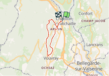

10.5 km | 13.1 km-effort


User


FREE GPS app for hiking
 SityTrail
IGN / Geographical institutes
SityTrail World
The world is yours!
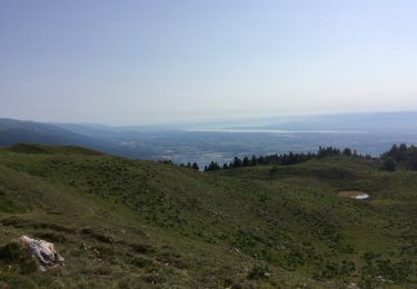
Trail Walking of 9.5 km to be discovered at Auvergne-Rhône-Alpes, Ain, Valserhône. This trail is proposed by Filkine.
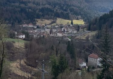
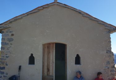
Départ place Clertan-Ardon-sentier botanique-Pré Jantet-Vouvray-Chapelle d'Ardon-retour à Chatillon en Michaille

Walking
Walking
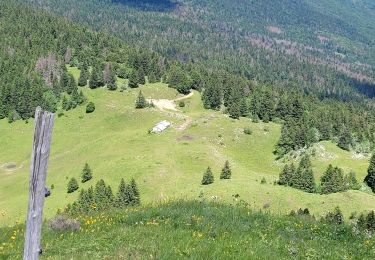
Walking

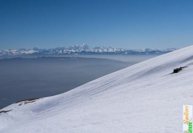
Snowshoes
Walking
Walking
Walking
Walking
Snowshoes