


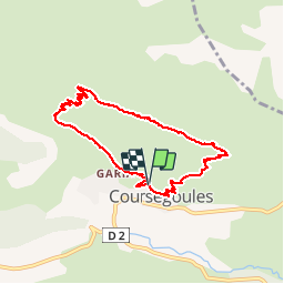

7.5 km | 13.1 km-effort


User


FREE GPS app for hiking
 SityTrail
IGN / Geographical institutes
SityTrail World
The world is yours!
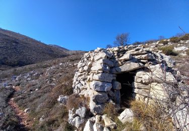
Trail Walking of 7.7 km to be discovered at Provence-Alpes-Côte d'Azur, Maritime Alps, Coursegoules. This trail is proposed by christian06.
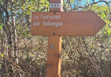
Circuit depuis le village en passant par le col de Coursegoules la baisse de Viérou et retour a Coursegoules Montée au col environ 1h30.
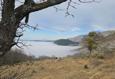
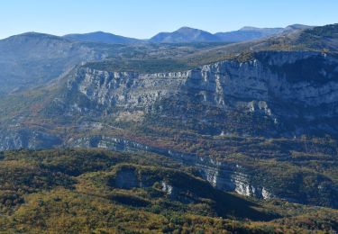
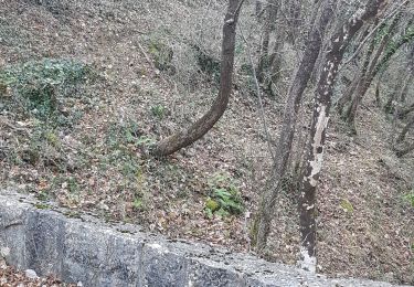
Rando présentant tout au long du parcours de très belles vues mer et montagne.
On foot

On foot

On foot

Running
Walking
Walking
Walking
Walking
Walking