3.4 km | 7.1 km-effort
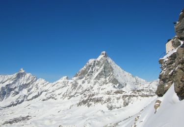
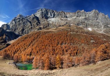
Val d ayas Breuil Cervinia par col supériorité sine blanca
chris13370
User
Length
10.5 km
Max alt
2990 m
Uphill gradient
303 m
Km-Effort
17.9 km
Min alt
1690 m
Downhill gradient
1307 m
Boucle
No
Creation date :
2017-09-18 00:00:00.0
Updated on :
2017-09-18 00:00:00.0
5h52
Difficulty : Unknown
FREE GPS app for hiking
About
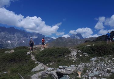
Trail Walking of 10.5 km to be discovered at Aosta Valley, Unknown, Valtournenche. This trail is proposed by chris13370.
Description
1350 m négatif
Positioning
Country:
Italy
Region :
Aosta Valley
Department/Province :
Unknown
Municipality :
Valtournenche
Location:
Unknown
Start:(Dec)
Start:(UTM)
397112 ; 5086311 (32T) N.
Comments
Trails nearby
Sentier Jean Antoine Carrel - 30 km - E/EE
On foot
Very difficult
Valtournenche,
Aosta Valley,
Unknown,
Italy
27 km | 45 km-effort
10h 15min
Yes
Itinerario 11 Rifugio Bobba Cervinia
On foot
Easy
Valtournenche,
Aosta Valley,
Unknown,
Italy
4 km | 11.5 km-effort
2h 37min
No
Itinerario 17 Breuil/Cervinia-Bec Pio Merlo
On foot
Easy
Valtournenche,
Aosta Valley,
Unknown,
Italy
4.5 km | 10.7 km-effort
2h 25min
No
Cheneil a Crepin via lago Doz
Walking
Difficult
Valtournenche,
Aosta Valley,
Unknown,
Italy
17.8 km | 31 km-effort
5h 12min
No
Itinerario 23 Colle della Roisette
On foot
Easy
Valtournenche,
Aosta Valley,
Unknown,
Italy
3.1 km | 4.9 km-effort
1h 7min
No
sf_e11cc
Walking
Very easy
Zermatt,
Valais/Wallis,
Visp,
Switzerland
3.4 km | 7.1 km-effort
1h 16min
No
Tour du Mont Rose - Jour 7 - Refuge Teodulo - Zermatt
Walking
Difficult
Zermatt,
Valais/Wallis,
Visp,
Switzerland
10.8 km | 16.1 km-effort
3h 24min
No
de Crepin à Chamois puis Cheneil
Walking
Medium
Valtournenche,
Aosta Valley,
Unknown,
Italy
12.5 km | 24 km-effort
5h 40min
No