


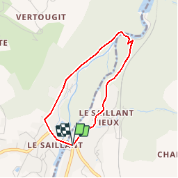


6.4 km | 8.6 km-effort


User


FREE GPS app for hiking
 SityTrail
IGN / Geographical institutes
SityTrail World
The world is yours!
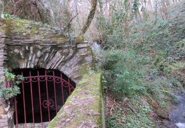
Trail Walking of 3 km to be discovered at New Aquitaine, Corrèze, Allassac. This trail is proposed by houbart.
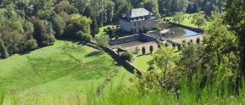
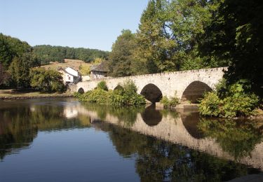
A voir : le magnifique pont médiéval du 16ème siècle "à becs" sur la Vézère avec six arches ogivales, puis la chapelle et ses vitraux signés Chagall et le château qu'on aperçoit depuis la route.


Walking

Walking
Trail
Walking
Walking

Walking
Walking

Walking

Walking