


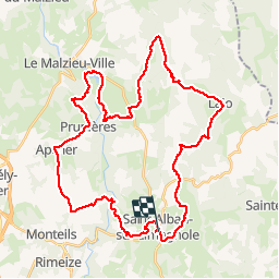

18.6 km | 24 km-effort


User


FREE GPS app for hiking
 SityTrail
IGN / Geographical institutes
SityTrail World
The world is yours!
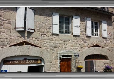
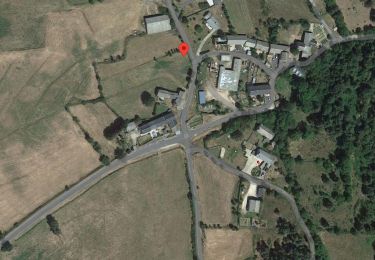
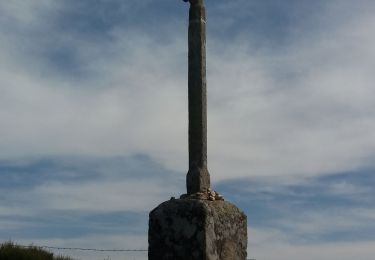
Trail Mountain bike of 45 km to be discovered at Occitania, Lozère, Saint-Alban-sur-Limagnole. This trail is proposed by benoit48.
RAND'ALBANAISE 2017
Walking
Walking
Walking

Walking

Walking
Walking

Walking
Walking
Walking