


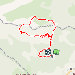

7.8 km | 13.4 km-effort

User


FREE GPS app for hiking
 SityTrail
IGN / Geographical institutes
SityTrail World
The world is yours!
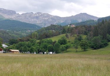
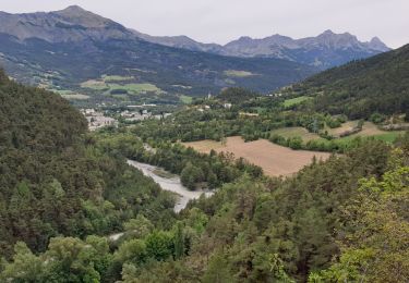
Trail Walking of 10.4 km to be discovered at Provence-Alpes-Côte d'Azur, Alpes-de-Haute-Provence, Jausiers. This trail is proposed by Gouze13.
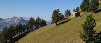
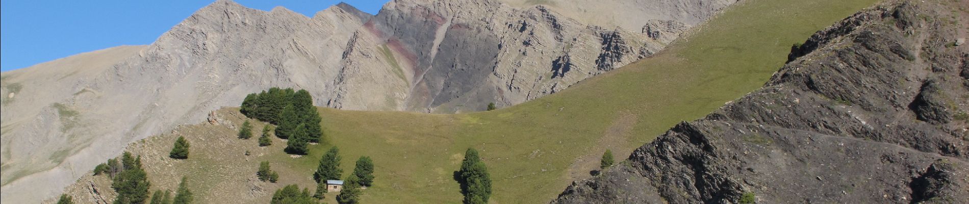
Descente hors sentier entre le sommet et la côte 2047 m. Sentier (trace...) discret à partir de la cabane 2047. Etre attentif.

Walking
Mountain bike

Walking
Electric bike
Walking
Walking
Walking
Walking
Walking