


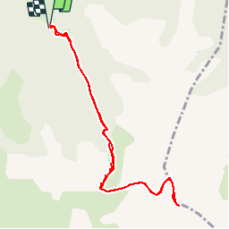

15.5 km | 24 km-effort


User


FREE GPS app for hiking
 SityTrail
IGN / Geographical institutes
SityTrail World
The world is yours!
Trail Walking of 9.8 km to be discovered at Provence-Alpes-Côte d'Azur, Alpes-de-Haute-Provence, Méolans-Revel. This trail is proposed by Gouze13.
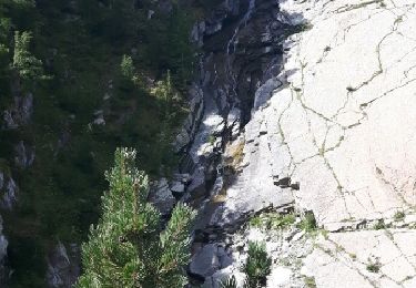
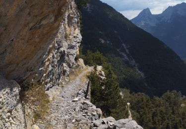
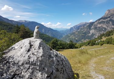
Probablement plus joli et certaienemnt plus sauvage que la Grande. L'un des plus beaux sommets de la "moyenne" vallée.

Walking
Walking

Mountain bike
Walking
Walking
Walking

Walking
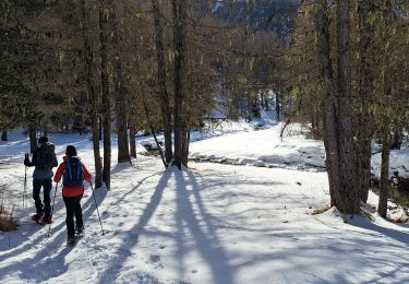
Snowshoes
Walking