6.5 km | 8.8 km-effort
Hiru Elizateak Les 3 bornes
DECHAMPD
User
Length
9.1 km
Max alt
140 m
Uphill gradient
283 m
Km-Effort
12.8 km
Min alt
21 m
Downhill gradient
282 m
Boucle
Yes
Creation date :
2019-01-14 17:30:29.692
Updated on :
2019-01-14 17:30:29.75
2h41
Difficulty : Very easy
FREE GPS app for hiking
About
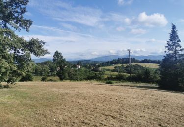
Trail Walking of 9.1 km to be discovered at New Aquitaine, Pyrénées-Atlantiques, Saint-Pierre-d'Irube. This trail is proposed by DECHAMPD.
Description
vILLEFRANQUE NORD
effectué le 26/09/2017 très belle balade
Passage très boueux entre les 2 sources
Positioning
Country:
France
Region :
New Aquitaine
Department/Province :
Pyrénées-Atlantiques
Municipality :
Saint-Pierre-d'Irube
Location:
Unknown
Start:(Dec)
Start:(UTM)
627337 ; 4812444 (30T) N.
Comments
Trails nearby
La croix de Mouguerre
Walking
Easy
(2)
Mouguerre,
New Aquitaine,
Pyrénées-Atlantiques,
France
1h 45min
Yes
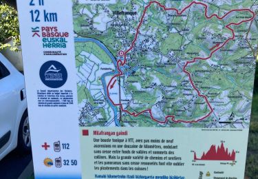
MILLAFRANGAN GAINDI - Villefranque
Walking
Easy
Villefranque,
New Aquitaine,
Pyrénées-Atlantiques,
France
12.9 km | 18.1 km-effort
3h 10min
Yes
Boucle Pilota Plaza Hasparren Briscous
Walking
Very easy
Hasparren,
New Aquitaine,
Pyrénées-Atlantiques,
France
11.2 km | 14.3 km-effort
2h 42min
Yes
Plaine d'ANSOT Bayonne
Walking
Easy
Bayonne,
New Aquitaine,
Pyrénées-Atlantiques,
France
8.4 km | 9 km-effort
2h 13min
Yes
Circuit de la Nive - Ustaritz
Mountain bike
Easy
Ustaritz,
New Aquitaine,
Pyrénées-Atlantiques,
France
10.3 km | 12.1 km-effort
1h 0min
Yes
Circuit de la Nive - Ustaritz
Walking
Medium
Ustaritz,
New Aquitaine,
Pyrénées-Atlantiques,
France
10.3 km | 12.1 km-effort
2h 15min
Yes
balade decouverte Mouguerre
Walking
Difficult
Saint-Pierre-d'Irube,
New Aquitaine,
Pyrénées-Atlantiques,
France
5.7 km | 7.6 km-effort
1h 56min
Yes
LAHONCE sentier de labaye formation balisage miden "3560100"
Walking
Easy
Lahonce,
New Aquitaine,
Pyrénées-Atlantiques,
France
2.3 km | 3.1 km-effort
1h 30min
Yes
Rando mitounico
Mountain bike
Medium
Lahonce,
New Aquitaine,
Pyrénées-Atlantiques,
France
23 km | 25 km-effort
3h 4min
Yes