


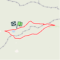

12.6 km | 16.9 km-effort


User


FREE GPS app for hiking
 SityTrail
IGN / Geographical institutes
SityTrail World
The world is yours!
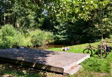
Trail Walking of 6.1 km to be discovered at Grand Est, Vosges, Vexaincourt. This trail is proposed by Le_Grand.
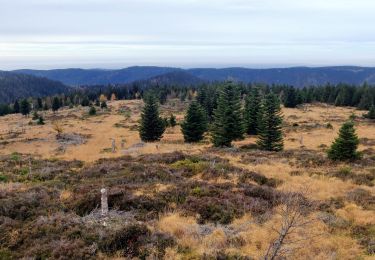
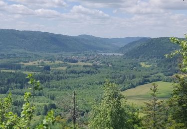
A partir du lac de la Maix montée vers le col du Prayé, la route du même nom en passant devant le refuge du club Alpin, retour par le Haut du Bon Dieu

Walking

Walking
Walking
Walking

Walking

Walking
Walking

Horseback riding
Mountain bike