


10.5 km | 21 km-effort

User


FREE GPS app for hiking
 SityTrail
IGN / Geographical institutes
SityTrail World
The world is yours!
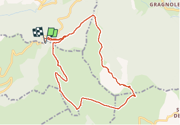
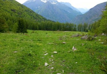
Trail Walking of 11.4 km to be discovered at Auvergne-Rhône-Alpes, Isère, Saint-Michel-en-Beaumont. This trail is proposed by RD78-38.
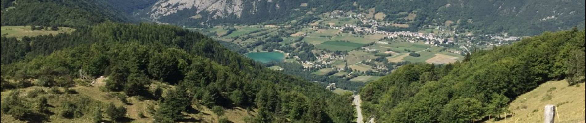
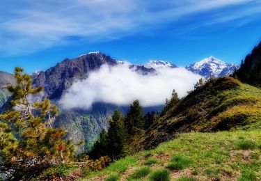
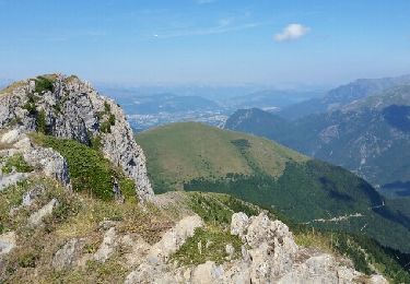
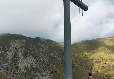
Parcours Très Très facile mais très beau paysage (cf Photos). Peut se faire sans problème avec des enfants. Balade très sympathique et reposante.


25 photos in total. Please click on a photo to see them all in the gallery.
Walking
Walking

Walking
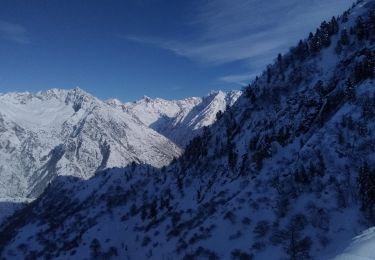
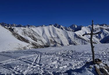
Touring skiing
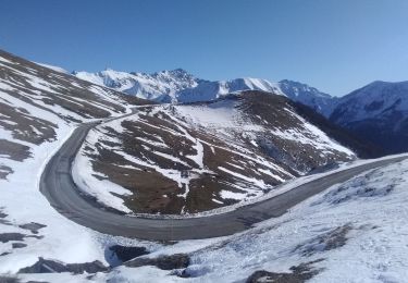
Touring skiing
Walking
Walking

Walking
Walking