


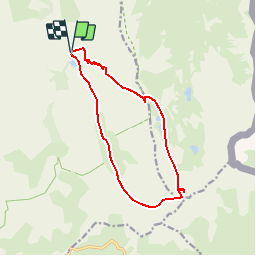

14.9 km | 27 km-effort

User


FREE GPS app for hiking
 SityTrail
IGN / Geographical institutes
SityTrail World
The world is yours!
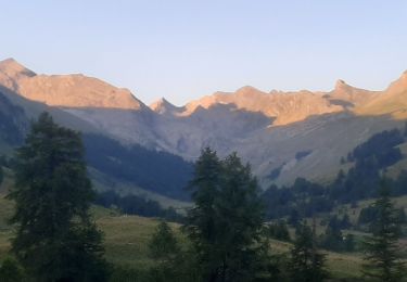
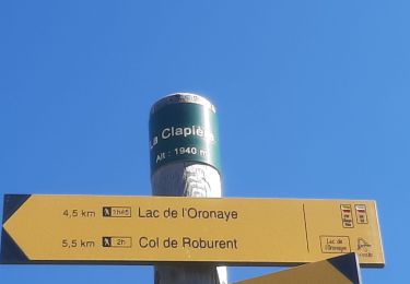
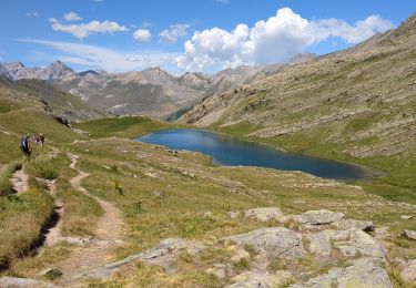
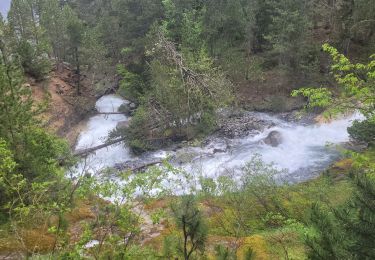
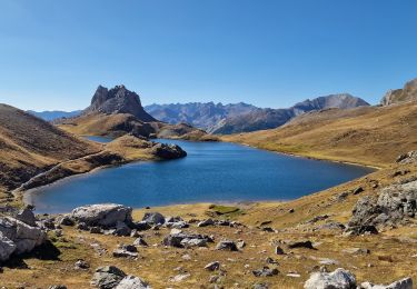
Trail Walking of 12.7 km to be discovered at Provence-Alpes-Côte d'Azur, Alpes-de-Haute-Provence, Jausiers. This trail is proposed by Gouze13.
Beaucoup de hors sentier. Sentier de descente depuis le quartier d'août trés discret par endroits.

Walking

Walking
Walking
Walking
Walking
Walking
Walking
Walking
Walking