


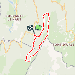

14.9 km | 22 km-effort

User


FREE GPS app for hiking
 SityTrail
IGN / Geographical institutes
SityTrail World
The world is yours!
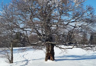
Trail Walking of 11.8 km to be discovered at Auvergne-Rhône-Alpes, Drôme, Bouvante. This trail is proposed by Gouze13.


Walking

Walking

Walking

Walking

Walking
Walking
Walking
Nordic walking
Walking
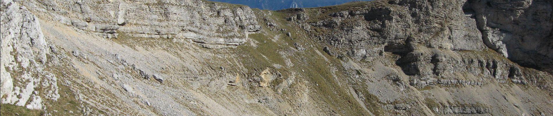
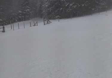
Nous avons fait cette randonnée fin aout 2021, malheureusement il y avait du brouillard et la visibilité était donc à certains moments très peu importante. Je voudrais juste signaler que si l’on n’est pas un spécialiste de la lecture des cartes, il faut bien partir avec son application sur le téléphone car au moins 2 passages ne sont pas très bien marqués. Le premier au km 8.5 après une grande descente à découvert on traverse un bois sur 300 m pour arriver sur une piste, au travers du bois le chemin n’est plus existant, on passe au milieu des taillis, puis quand on quitte la piste au km 11.1 à la sortie d’un virage en épingle le chemin là aussi n’est pas visible au départ sur les premiers 100m.