


4 km | 8.9 km-effort

User


FREE GPS app for hiking
 SityTrail
IGN / Geographical institutes
SityTrail World
The world is yours!
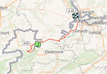
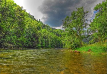
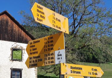
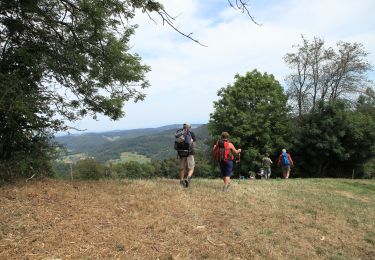
Trail Cycle of 68 km to be discovered at Jura, District de Porrentruy, Clos du Doubs. This trail is proposed by karawatsj.
Gevarieerde tocht met 2 klimmetjes van 350m hoogte met buitengewone vergezichten door haast verlaten streken, landerijen en bossen. Gedeeltelijk in Frankrijk.
Gezellig fietsen doorheen de stad Basel langs veilige fietspaden tot aan het station.
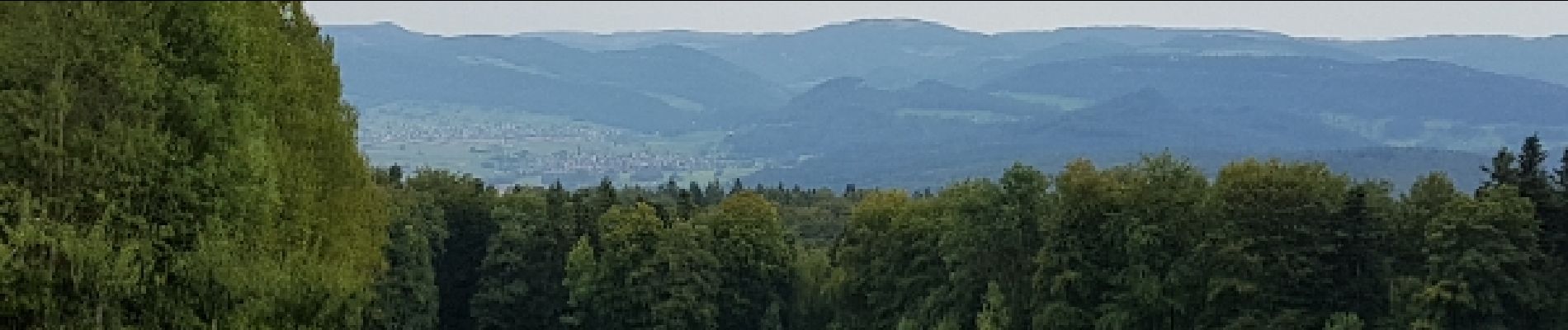
 - Photo 1")
 - Photo 2")
 - Photo 3")
 - Photo 4")
 - Photo 5")
 - Photo 6")
 - Photo 7")
 - Photo 8")
 - Photo 9")
 - Photo 10")
 - Photo 11")
 - Photo 12")
 - Photo 13")
On foot
On foot
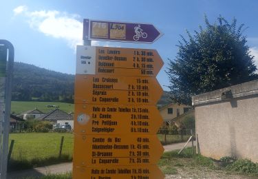
On foot
On foot
On foot
On foot

On foot
Walking

Mountain bike