


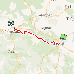

15.9 km | 19 km-effort


User


FREE GPS app for hiking
 SityTrail
IGN / Geographical institutes
SityTrail World
The world is yours!
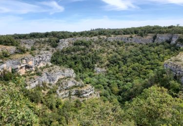
Trail Walking of 11.6 km to be discovered at Occitania, Lot, Gramat. This trail is proposed by choubaka77.
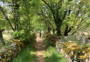
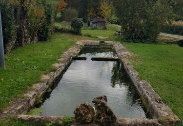
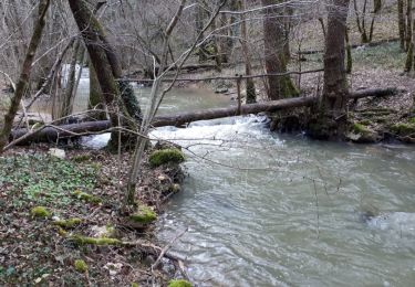
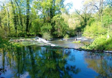
Étape courte et agréable. Arrivé en tout début d'après midi, cela laisse le temps de découvrir Rocamadour après être passé en fond de canyon pour découvrir les restes de vieux moulins à eau.


Walking

Mountain bike

Walking

Cycle
Mountain bike