


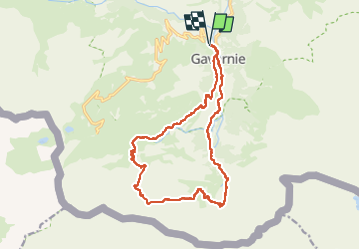

12.7 km | 22 km-effort

User


FREE GPS app for hiking
 SityTrail
IGN / Geographical institutes
SityTrail World
The world is yours!
Trail Walking of 19.1 km to be discovered at Occitania, Hautespyrenees, Gavarnie-Gèdre. This trail is proposed by PatDev.
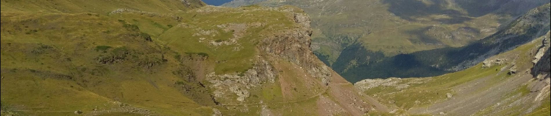
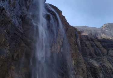
Départ à Gavarnie jusqu'au fond du cirque puis montée par les échelles de Saradet jusqu'au refuge de la brèche puis retour par le col de Saradet et la cabane du soldat


Walking

Walking

Walking

Walking

Walking

Walking

Horseback riding

Walking
Walking