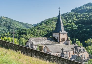
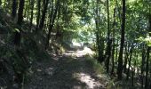
Trail Walking Conques-en-Rouergue - Les Pelies La Vinzelle : boucle rapide - Photo

Les Pelies La Vinzelle : boucle rapide

© OpenStreetMap contributors
Length
Length
5.4 km
Max alt
Max alt
408 m
Uphill gradient
Uphill gradient
258 m
Km-Effort
Km-Effort  
8.8 km
Min alt
Min alt
203 m
Downhill gradient
Downhill gradient
263 m
Boucle
Boucle
Yes
Creation date :
2017-08-22 00:00:00.0
Updated on :
2017-08-22 00:00:00.0

(1 Reviews)

Walking
Walking
3h19
Difficulty : Easy

Scan this QR Code to open this trail in the SityTrail application

FREE GPS app for hiking

Logo SityTrail SityTrail
IGN / Geographical institutes

Download SityTrail from the App Store Download SityTrail from Google Play

Logo SityTrail SityTrail World
The world is yours!

Download SityTrail from the App Store Download SityTrail from Google Play Download SityTrail on Huawei AppGallery

About

Trail Walking of 5.4 km to be discovered at Occitania, Aveyron, Conques-en-Rouergue. This trail is proposed by lullaby92.

Description

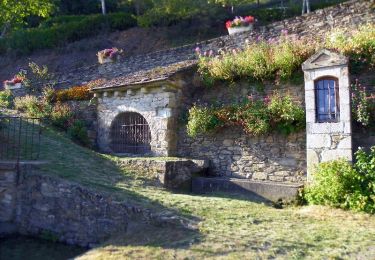
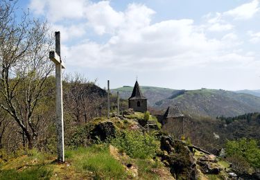
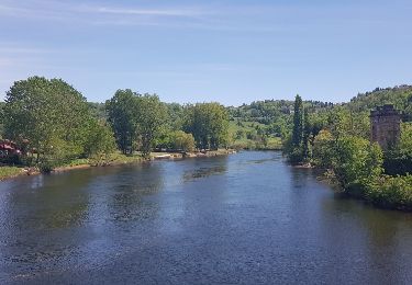
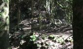
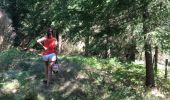
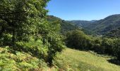
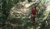
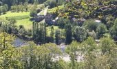
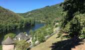
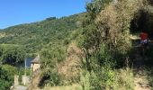
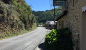
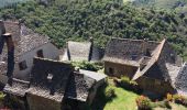
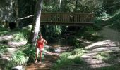
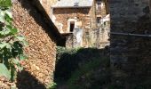
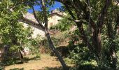
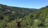
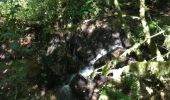
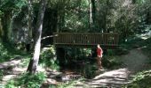
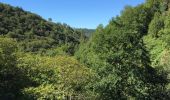
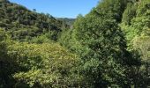
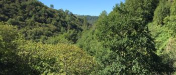
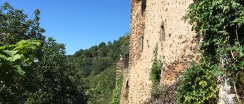
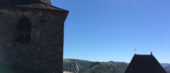
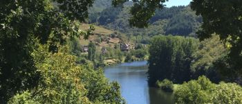
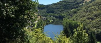
On part du manoir des Pelies , chambre d hôtes et on monte rapidement sur la gauche à travers des prairies a moutons puis des bois de châtaigniers par un tres joli sentier avec vues sur le Lot à flanc de coteau . Au sommet de la montée on redescend à travers bois jusqu'à une Riviere avec quelques petites cascades et vue sur le Clocher de La Vinzelle et sur un vallon qui descend jusqu au Lot auparavant . Par un dernier sentier assez raide on arrive à La Vinzelle tres pittoresque village à 400 m avec maisons à toits de Lauzes et une église avec un original clocher deporté . Magnifiques vues sur les collines prairies et. La Vallee du Lot . Durée 2h agrément 4 étoiles

Elevation profile

Photos

Points of interest

Point of interest Conques-en-Rouergue - Point 12 - Photo
lullaby92
CONQUES-EN-ROUERGUE 
Point of interest Conques-en-Rouergue - Point 18 - Photo
lullaby92
CONQUES-EN-ROUERGUE 
Point of interest Conques-en-Rouergue - sommet de la ballade : clocher décale de vinzelle  - Photo
lullaby92
CONQUES-EN-ROUERGUE 
Point of interest Conques-en-Rouergue - descente sur les Pelies:  - Photo
lullaby92
CONQUES-EN-ROUERGUE 
Point of interest Conques-en-Rouergue - Point 25 - Photo
lullaby92
CONQUES-EN-ROUERGUE 

Positioning

Country:
France
Region :
Occitania
Department/Province :
Aveyron
Municipality :
Conques-en-Rouergue
Location:
Grand-Vabre
Start:(UTM)
448095 ; 4942712 (31T) N.

Comments

Please log in to post a review or rate the element


superbe circuit


Trails nearby

Trail Walking Conques-en-Rouergue - La Vinzelle - Grand Vabre - Photo
Walking
tracegps

Walking

Medium
(3)
Conques-en-Rouergue, Occitania, Aveyron, France
6.7 km | 11.1 km-effort
3h 30min
Yes
Trail On foot Conques-en-Rouergue - TerraTrail 7 - Photo
On foot
GUIDE+

On foot

Easy
Conques-en-Rouergue, Occitania, Aveyron, France
9.4 km | 15.8 km-effort
3h 36min
Yes
Trail On foot Conques-en-Rouergue - Terra trail 10 - Photo
On foot
GUIDE+

On foot

Difficult
Conques-en-Rouergue, Occitania, Aveyron, France
22 km | 34 km-effort
7h 41min
Yes
Trail Walking Conques-en-Rouergue - Conques Levinhac le Haut Avril 2018 - Photo
Walking
GUIDE
Kargil

Walking

Difficult
Conques-en-Rouergue, Occitania, Aveyron, France
25 km | 36 km-effort
7h 4min
No
Trail Walking Conques-en-Rouergue - Conques  - Photo
Walking
GUIDE
antignacs

Walking

Very easy
Conques-en-Rouergue, Occitania, Aveyron, France
10.9 km | 16.3 km-effort
3h 2min
Yes
Trail On foot Conques-en-Rouergue - Sentier Conques - Grand-Vabre - Photo
On foot
GUIDE+

On foot

Easy
Conques-en-Rouergue, Occitania, Aveyron, France
4.9 km | 6.4 km-effort
1h 27min
No
Trail On foot Conques-en-Rouergue - Tieulet - Photo
On foot
GUIDE+

On foot

Easy
(1)
Conques-en-Rouergue, Occitania, Aveyron, France
6.6 km | 10.5 km-effort
2h 22min
No
Trail On foot Conques-en-Rouergue - Chapelle Sainte-Foy - Photo
On foot
GUIDE+

On foot

Easy
Conques-en-Rouergue, Occitania, Aveyron, France
5.8 km | 10.4 km-effort
2h 22min
No
Trail Walking Conques-en-Rouergue - Conques  - Photo
Walking
daniel46100

Walking

Medium
Conques-en-Rouergue, Occitania, Aveyron, France
5.8 km | 10.2 km-effort
2h 4min
Yes


Close
My subscriptions