


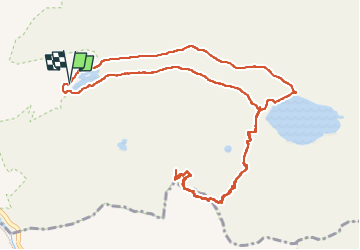

12.6 km | 20 km-effort

User GUIDE


FREE GPS app for hiking
 SityTrail
IGN / Geographical institutes
SityTrail World
The world is yours!
Trail Walking of 13.8 km to be discovered at Auvergne-Rhône-Alpes, Savoy, Tignes. This trail is proposed by amiral13.
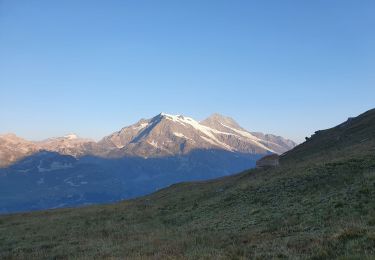
cette randonnée a été réalisée jusqu'au passage de Picheru avec un enfant de 9 ans, le temps de parcours peut être donc être réduit.
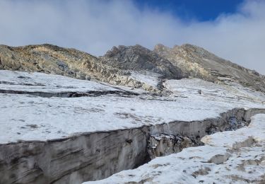
par contre, à partir du passage de Picheru il s'agit de hors sentier sur des pentes herbeuses qui peuvent se révéler dangereuses.


Walking

Walking

Walking

Walking

Walking

Walking
Walking

Walking
Walking
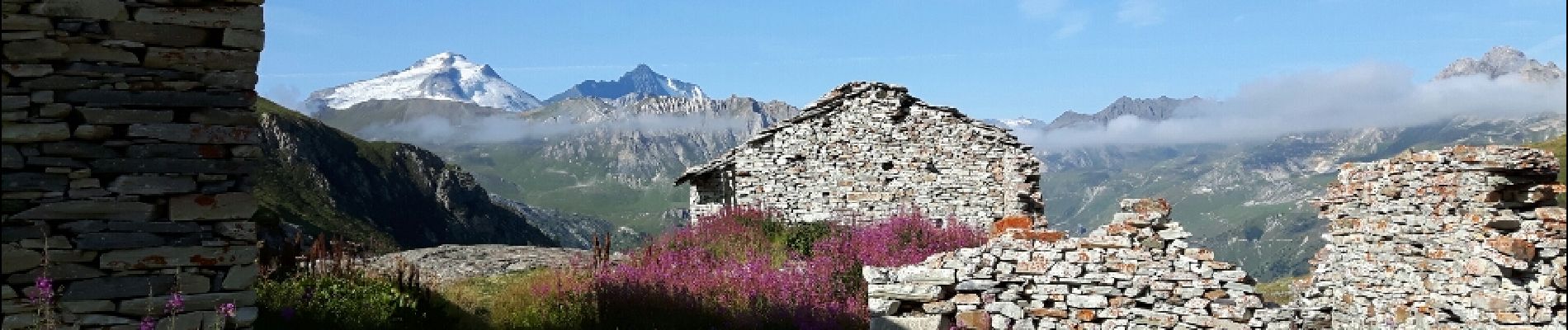
Très belle randonnée réalisée en famille en 2018.