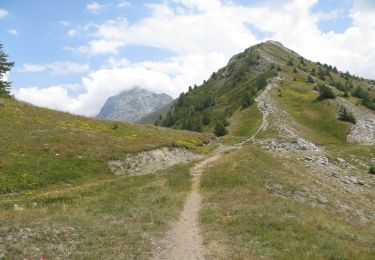
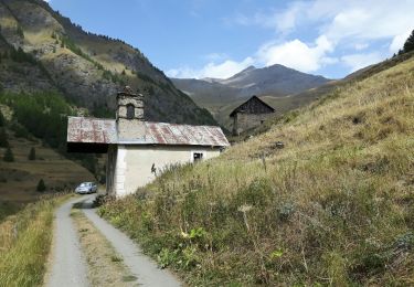
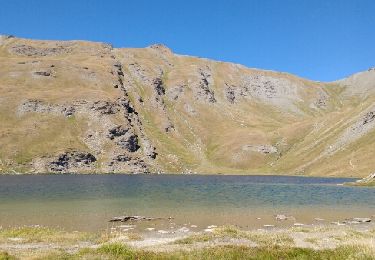
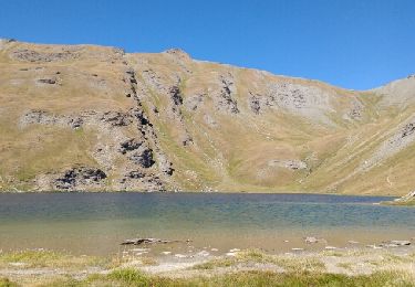
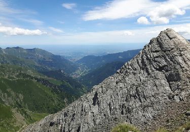
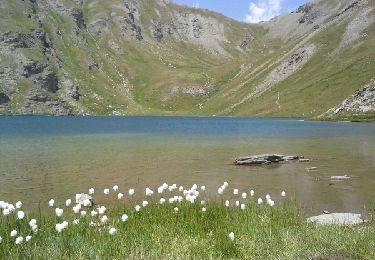
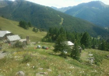
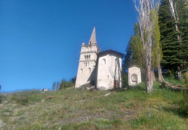
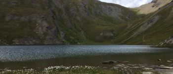
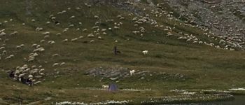
Trail Walking Abriès-Ristolas - lacs du Malrif - Photo
 altaya
altaya

User

© OpenStreetMap contributors
Length
Length
16.1 km
Max alt
Max alt
2743 m
Uphill gradient
Uphill gradient
1309 m
Km-Effort
Km-Effort  
34 km
Min alt
Min alt
1556 m
Downhill gradient
Downhill gradient
1310 m
Boucle
Boucle
Yes
Creation date :
2018-04-16 21:14:29.503
Updated on :
2018-04-16 21:14:29.503

(0 Reviews)

Walking
Walking
6h40
Difficulty : Medium

Scan this QR Code to open this trail in the SityTrail application

FREE GPS app for hiking

Logo SityTrail SityTrail

IGN / Geographical institutes

Download SityTrail from the App Store Download SityTrail from Google Play

Logo SityTrail SityTrail World

The world is yours!

Download SityTrail from the App Store Download SityTrail from Google Play Download SityTrail on Huawei AppGallery

About

Trail Walking of 16.1 km to be discovered at Provence-Alpes-Côte d'Azur, Hautes-Alpes, Abriès-Ristolas. This trail is proposed by altaya.

Description

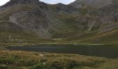
Boucle qui commence par une sente dont on perd facilement la trace (merci au GPS pour aider à retrouver le chemin). On suit ensuite une route forestière pour rejoindre le chemin balisé. On aperçoit peu d'animaux. Le sentier est pentu par moment. Après être monté au troisième lac, on redescend au Malrif puis on revient au village par le GR (Le GPS semble être devenu un peu fou au vu du tracé ici fourni !).

Elevation profile

Photos

Points of interest

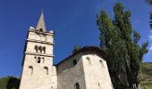
Point of interest Abriès-Ristolas - chapelle - Photo
altaya
ABRIÈS-RISTOLAS 
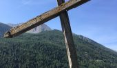
Point of interest Abriès-Ristolas - croix - Photo
altaya
ABRIÈS-RISTOLAS 
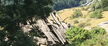
Point of interest Abriès-Ristolas - vieux villages - Photo
altaya
ABRIÈS-RISTOLAS 
Point of interest Abriès-Ristolas - en cheminant - Photo
altaya
ABRIÈS-RISTOLAS 
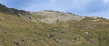
Point of interest Abriès-Ristolas - vue - Photo
altaya
ABRIÈS-RISTOLAS 
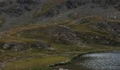
Point of interest Abriès-Ristolas - premier lac - Photo
altaya
ABRIÈS-RISTOLAS 
Point of interest Aiguilles - deuxième lac - Photo
altaya
AIGUILLES 
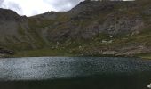
Point of interest Aiguilles - dernier lac - Photo
altaya
AIGUILLES 

Positioning

Country:
France
Region :
Provence-Alpes-Côte d'Azur
Department/Province :
Hautes-Alpes
Municipality :
Abriès-Ristolas
Location:
Unknown
Start:(UTM)
336030 ; 4962289 (32T) N.

Trails nearby

Trail Walking Abriès-Ristolas - collette et crête de Gilly - Photo
Walking
GUIDE
amiral13

Walking

Easy
(1)
Abriès-Ristolas, Provence-Alpes-Côte d'Azur, Hautes-Alpes, France
6.5 km | 13.7 km-effort
3h 51min
Yes
Trail Walking Abriès-Ristolas - le Bric Froid  - Photo
Walking
GUIDE
amiral13

Walking

Difficult
Abriès-Ristolas, Provence-Alpes-Côte d'Azur, Hautes-Alpes, France
16.5 km | 38 km-effort
5h 54min
Yes
Trail Walking Abriès-Ristolas - Abriès - Aiguilles - Photo
Walking
GUIDE
romanceline

Walking

Difficult
Abriès-Ristolas, Provence-Alpes-Côte d'Azur, Hautes-Alpes, France
16.9 km | 32 km-effort
7h 19min
No
Trail Walking Abriès-Ristolas - Abriès - Aiguilles - Photo
Walking
GUIDE
romanceline

Walking

Difficult
Abriès-Ristolas, Provence-Alpes-Côte d'Azur, Hautes-Alpes, France
16.9 km | 32 km-effort
7h 19min
No
Trail Walking Abriès-Ristolas - col d'Urine et Maït d'Amunt - Photo
Walking
GUIDE
amiral13

Walking

Medium
Abriès-Ristolas, Provence-Alpes-Côte d'Azur, Hautes-Alpes, France
13.2 km | 26 km-effort
5h 56min
Yes
Trail Walking Aiguilles - les lacs du Malrifs - Photo
Walking
GUIDE
amiral13

Walking

Very easy
Aiguilles, Provence-Alpes-Côte d'Azur, Hautes-Alpes, France
11 km | 21 km-effort
4h 44min
Yes
Trail Walking Abriès-Ristolas - Pré Roubaud - Photo
Walking
pb07

Walking

Easy
(1)
Abriès-Ristolas, Provence-Alpes-Côte d'Azur, Hautes-Alpes, France
7.3 km | 12.4 km-effort
2h 46min
Yes
Trail Walking Abriès-Ristolas - Le Bois Noir - Photo
Walking
patrando49

Walking

Easy
(2)
Abriès-Ristolas, Provence-Alpes-Côte d'Azur, Hautes-Alpes, France
4.5 km | 6.8 km-effort
2h 0min
Yes
Trail Walking Abriès-Ristolas - ABRIES - Photo
Walking
GUIDE
RobinMicheline

Walking

Medium
Abriès-Ristolas, Provence-Alpes-Côte d'Azur, Hautes-Alpes, France
9 km | 14.7 km-effort
3h 5min
Yes


Close
My subscriptions