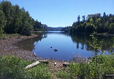
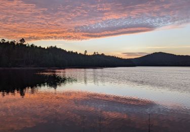
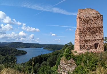
13.6 km | 17 km-effort
Pierre-Percée
DanielROLLET
User
Length
28 km
Max alt
437 m
Uphill gradient
518 m
Km-Effort
34 km
Min alt
374 m
Downhill gradient
519 m
Boucle
Yes
Creation date :
2017-08-19 00:00:00.0
Updated on :
2023-09-18 08:40:58.044
7h49
Difficulty : Very difficult
FREE GPS app for hiking
About
Trail Walking of 28 km to be discovered at Grand Est, Meurthe-et-Moselle, Pierre-Percée. This trail is proposed by DanielROLLET.
Positioning
Country:
France
Region :
Grand Est
Department/Province :
Meurthe-et-Moselle
Municipality :
Pierre-Percée
Location:
Unknown
Start:(Dec)
Start:(UTM)
346926 ; 5370278 (32U) N.
Comments
Trails nearby
badonviller parc aventure tyrolienne roche des corbeaux
Horseback riding
Very easy
(2)
Badonviller,
Grand Est,
Meurthe-et-Moselle,
France
3h 21min
Yes
Tour du lac du Vieux-Pré
Walking
Difficult
(2)
Pierre-Percée,
Grand Est,
Meurthe-et-Moselle,
France
30 km | 38 km-effort
8h 35min
Yes
pierre percée, circuit des roches, etc...
Walking
Medium
(2)
Pierre-Percée,
Grand Est,
Meurthe-et-Moselle,
France
20 km | 28 km-effort
8h 0min
Yes
2023-07-23 Marche Bivouac Lac de la pierre percee
Walking
Easy
Pexonne,
Grand Est,
Meurthe-et-Moselle,
France
12.8 km | 16.1 km-effort
3h 11min
No
2023-07-22 Marche Bivouac Lac de la pierre percee
Walking
Easy
Badonviller,
Grand Est,
Meurthe-et-Moselle,
France
21 km | 27 km-effort
6h 35min
No
Lac de Pierre Percée 25 km
Horseback riding
Difficult
(1)
Badonviller,
Grand Est,
Meurthe-et-Moselle,
France
25 km | 32 km-effort
4h 13min
Yes
sortie vtt du 24102019 celles sur plaine
Mountain bike
Difficult
Celles-sur-Plaine,
Grand Est,
Vosges,
France
21 km | 30 km-effort
2h 27min
Yes
sortie vtt du 03062018 rando pierre percée
Mountain bike
Medium
Badonviller,
Grand Est,
Meurthe-et-Moselle,
France
45 km | 57 km-effort
2h 30min
Yes
rando des lacs 2016
Mountain bike
Difficult
Badonviller,
Grand Est,
Meurthe-et-Moselle,
France
32 km | 42 km-effort
2h 45min
Yes