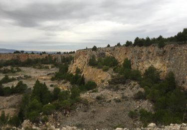
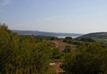
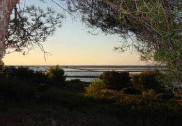
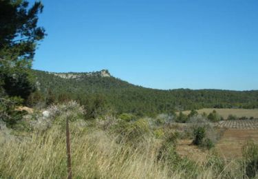
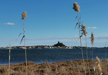
Trail Mountain bike Gruissan - Canal de la Robine Gruissan - Photo

Canal de la Robine Gruissan

 jcmartin
jcmartin

User

© OpenStreetMap contributors
Length
Length
49 km
Max alt
Max alt
27 m
Uphill gradient
Uphill gradient
211 m
Km-Effort
Km-Effort  
52 km
Min alt
Min alt
-4 m
Downhill gradient
Downhill gradient
211 m
Boucle
Boucle
Yes
Creation date :
2017-08-17 00:00:00.0
Updated on :
2017-08-17 00:00:00.0

(0 Reviews)

Mountain bike
Mountain bike
3h28
Difficulty : Easy

Scan this QR Code to open this trail in the SityTrail application

FREE GPS app for hiking

Logo SityTrail SityTrail

IGN / Geographical institutes

Download SityTrail from the App Store Download SityTrail from Google Play

Logo SityTrail SityTrail World

The world is yours!

Download SityTrail from the App Store Download SityTrail from Google Play Download SityTrail on Huawei AppGallery

About

Trail Mountain bike of 49 km to be discovered at Occitania, Aude, Gruissan. This trail is proposed by jcmartin.

Description

Le départ se fait bien du parking de l'Île Ste Lucie (ne pas tenir compte du point de départ/arrivée indiqué sur le sityguide).
Parcours agréable au bord du canal de la Robine et entre les étangs où l'on peut admirer de nombreux oiseaux; on peut faire ce parcours sans aller jusqu'à la plage de la vieille nouvelle en suivant le canal du Grazel et en évitant le petit détour sur l'île St Martin pour aller déguster les excellents vins de Pierre Richard. Dans ce cas le parcours ne fait plus que 35 kms

Elevation profile

Positioning

Country:
France
Region :
Occitania
Department/Province :
Aude
Municipality :
Gruissan
Location:
Unknown
Start:(UTM)
502551 ; 4772142 (31T) N.

Trails nearby

Trail Walking Narbonne - La Clape - Trou de la Crouzade - Photo
Walking
PiloudeBamako

Walking

Difficult
(1)
Narbonne, Occitania, Aude, France
15.5 km | 21 km-effort
4h 30min
Yes
Trail Walking Gruissan - Ile St Martin près de Gruissan - Photo
Walking
tracegps

Walking

Easy
(1)
Gruissan, Occitania, Aude, France
8.3 km | 10 km-effort
2h 40min
Yes
Trail Mountain bike Gruissan - Espace VTT FFC Clape de Gruissan - Circuit n°6 - La Montée des plateaux - Photo
Mountain bike
tracegps

Mountain bike

Very difficult
(2)
Gruissan, Occitania, Aude, France
31 km | 38 km-effort
2h 40min
Yes
Trail Mountain bike Gruissan - Espace VTT FFC Clape de Gruissan - Circuit n°5 - Les Garrigues - Photo
Mountain bike
tracegps

Mountain bike

Difficult
(1)
Gruissan, Occitania, Aude, France
23 km | 27 km-effort
1h 30min
Yes
Trail Walking Gruissan - Le plan Vigné - Photo
Walking
dufland

Walking

Medium
(1)
Gruissan, Occitania, Aude, France
3.6 km | 5.7 km-effort
1h 17min
Yes
Trail Walking Gruissan - Gruissan Les goules La capoulade - Photo
Walking
GUIDE
Ada11

Walking

Very easy
Gruissan, Occitania, Aude, France
16.9 km | 20 km-effort
4h 7min
Yes
Trail Walking Bages - randogps11-302 - Photo
Walking
Daron34

Walking

Medium
(1)
Bages, Occitania, Aude, France
9.8 km | 12.5 km-effort
2h 41min
Yes
Trail Walking Gruissan - gruissan Auzils Goutine - Photo
Walking
alaindesvaux

Walking

Easy
(2)
Gruissan, Occitania, Aude, France
16.1 km | 22 km-effort
4h 3min
Yes
Trail Walking Gruissan - Sur l'île Saint Martin - Gruissan - Photo
Walking
tracegps

Walking

Medium
(3)
Gruissan, Occitania, Aude, France
12.4 km | 15.2 km-effort
3h 45min
Yes


Close
My subscriptions