


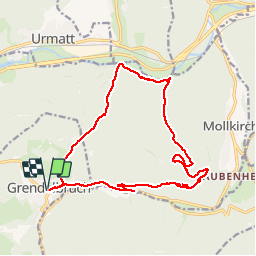


14.9 km | 21 km-effort

User


FREE GPS app for hiking
 SityTrail
IGN / Geographical institutes
SityTrail World
The world is yours!
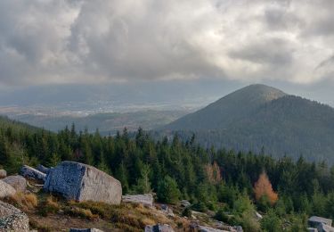
Trail Walking of 16.9 km to be discovered at Grand Est, Bas-Rhin, Grendelbruch. This trail is proposed by VacheKiri67.
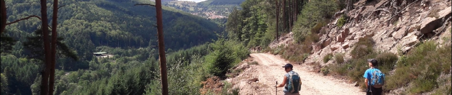
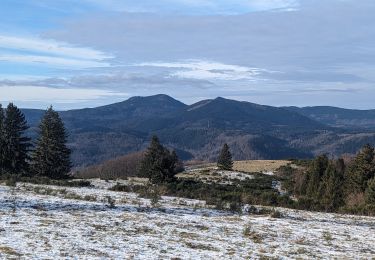
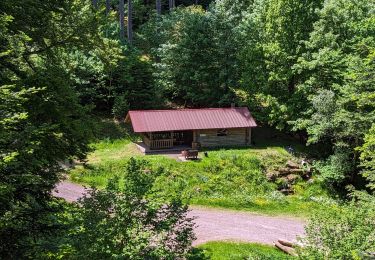
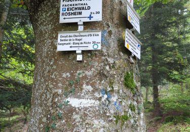
Faite le 06/08/2017 avec notre fils Théo de 12 ans. D'après "Passion Vosges - A la découverte des châteaux forts d'Alsace" N°9 : Le Guirbaden, le plus grand des châteaux forts. Durée indiquée pour le circuit : 4h.


25 photos in total. Please click on a photo to see them all in the gallery.

Walking

Walking

Horseback riding

Walking
Walking
Horseback riding
Walking

Equestrian
Walking