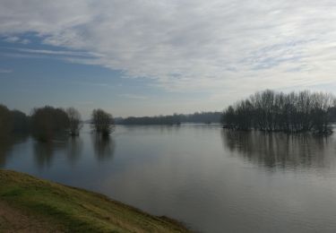
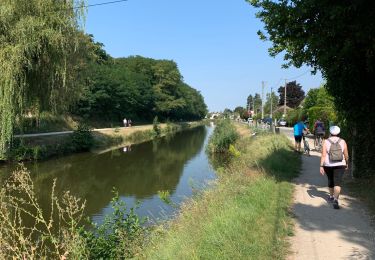
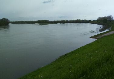
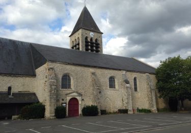
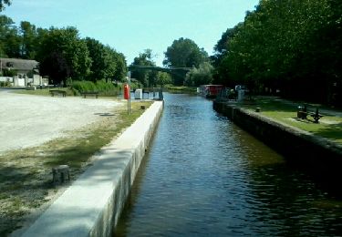
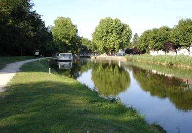
13.6 km | 15.1 km-effort
sandillon jargeau
michelleverdier
User
Length
19.5 km
Max alt
108 m
Uphill gradient
147 m
Km-Effort
22 km
Min alt
90 m
Downhill gradient
147 m
Boucle
Yes
Creation date :
2017-11-27 00:00:00.0
Updated on :
2017-11-27 00:00:00.0
4h44
Difficulty : Easy
FREE GPS app for hiking
About
Trail Walking of 19.5 km to be discovered at Centre-Loire Valley, Loiret, Sandillon. This trail is proposed by michelleverdier.
Positioning
Country:
France
Region :
Centre-Loire Valley
Department/Province :
Loiret
Municipality :
Sandillon
Location:
Unknown
Start:(Dec)
Start:(UTM)
427278 ; 5301913 (31T) N.
Comments
Trails nearby
vtt Patrick Pensuet et Pascal Robinet
Mountain bike
Easy
Chécy,
Centre-Loire Valley,
Loiret,
France
1h 8min
Yes
20180114
Walking
Easy
Mardié,
Centre-Loire Valley,
Loiret,
France
11 km | 11.7 km-effort
2h 16min
Yes
Combleux 1
Walking
Combleux,
Centre-Loire Valley,
Loiret,
France
4.9 km | 5.3 km-effort
1h 14min
Yes
Randonnée Sandillon
Walking
Medium
Sandillon,
Centre-Loire Valley,
Loiret,
France
30 km | 33 km-effort
5h 12min
Yes
Mardier bou
Walking
Very easy
Mardié,
Centre-Loire Valley,
Loiret,
France
15.2 km | 16.5 km-effort
3h 7min
Yes
Untitled
Walking
Medium
Mardié,
Centre-Loire Valley,
Loiret,
France
12.6 km | 13.7 km-effort
3h 3min
Yes
Passage aux cerfs - Pont aux Moines
Mountain bike
Medium
Mardié,
Centre-Loire Valley,
Loiret,
France
15.3 km | 17 km-effort
2h 0min
Yes
Trajet 2
Mountain bike
Medium
Chécy,
Centre-Loire Valley,
Loiret,
France
25 km | 27 km-effort
1h 45min
Yes
Chemin 22 km numéro 1
Mountain bike
Medium
Chécy,
Centre-Loire Valley,
Loiret,
France
22 km | 24 km-effort
1h 30min
Yes