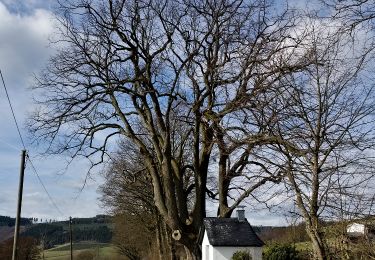
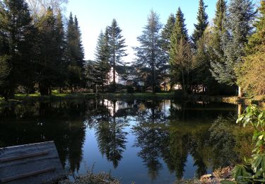
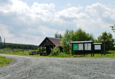
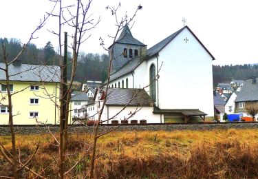
Trail Walking Winterberg - t2958217_hoeher gehts nicht   grenzregion zwischen westfalen und waldeck start in winterberg niedersfeld - Photo

t2958217_hoeher gehts nicht grenzregion zwischen westfalen und waldeck start in winterberg niedersfeld

 Swakke
Swakke

User

© OpenStreetMap contributors
Length
Length
13.9 km
Max alt
Max alt
853 m
Uphill gradient
Uphill gradient
491 m
Km-Effort
Km-Effort  
20 km
Min alt
Min alt
518 m
Downhill gradient
Downhill gradient
492 m
Boucle
Boucle
Yes
Creation date :
2018-07-23 07:37:52.398
Updated on :
2018-07-23 07:37:52.398

(0 Reviews)

Walking
Walking
--
Difficulty : Medium

Scan this QR Code to open this trail in the SityTrail application

FREE GPS app for hiking

Logo SityTrail SityTrail

IGN / Geographical institutes

Download SityTrail from the App Store Download SityTrail from Google Play

Logo SityTrail SityTrail World

The world is yours!

Download SityTrail from the App Store Download SityTrail from Google Play Download SityTrail on Huawei AppGallery

About

Trail Walking of 13.9 km to be discovered at North Rhine-Westphalia, Hochsauerlandkreis, Winterberg. This trail is proposed by Swakke.

Elevation profile

Points of interest

Point of interest Olsberg - Langenberg - Photo
Swakke
OLSBERG 
Point of interest Olsberg - Langenberg - Photo
Swakke
OLSBERG 
Point of interest Winterberg - Clemensberg - Photo
Swakke
WINTERBERG 
Point of interest Winterberg - Windharfe - Goldener Pfad - Photo
Swakke
Point of interest Winterberg - Hochheide Hütte - Photo
Swakke
WINTERBERG 
Point of interest Winterberg - line up - Photo
Swakke
WINTERBERG 
Point of interest Winterberg - Hillebachsee - Photo
Swakke
WINTERBERG 
Point of interest Winterberg - Hotel Niedersfeld - Photo
Swakke
WINTERBERG 
Point of interest Winterberg - Heimatstube Niedersfeld - Photo
Swakke

Positioning

Country:
Germany
Region :
North Rhine-Westphalia
Department/Province :
Hochsauerlandkreis
Municipality :
Winterberg
Location:
Unknown
Start:(UTM)
467027 ; 5679059 (32U) N.

Comments

Please log in to post a review or rate the element


Trails nearby

Trail On foot Olsberg - Elpe Rundweg E1 - Photo
On foot
GUIDE+

On foot

Easy
Olsberg, North Rhine-Westphalia, Hochsauerlandkreis, Germany
3.5 km | 5 km-effort
1h 8min
No
Trail On foot Olsberg - Wulmeringhausen Ziegenberg-Rundweg W4 - Photo
On foot
GUIDE+

On foot

Easy
Olsberg, North Rhine-Westphalia, Hochsauerlandkreis, Germany
8.5 km | 12 km-effort
2h 43min
Yes
Trail On foot Winterberg - Siedlinghausen Rundweg Sh4 Stauseeweg - Photo
On foot
GUIDE+

On foot

Easy
Winterberg, North Rhine-Westphalia, Hochsauerlandkreis, Germany
3.1 km | 3.6 km-effort
48min
No
Trail On foot Olsberg - Brunskappel Kahlenberg Rundweg B2 - Photo
On foot
GUIDE+

On foot

Easy
Olsberg, North Rhine-Westphalia, Hochsauerlandkreis, Germany
4.2 km | 6 km-effort
1h 21min
No
Trail On foot Olsberg - Brunskappel Kahlenberg Rundweg B1 - Photo
On foot
GUIDE+

On foot

Easy
Olsberg, North Rhine-Westphalia, Hochsauerlandkreis, Germany
3.1 km | 5 km-effort
1h 8min
No
Trail On foot Winterberg - Silbach Rundweg Sb1 Fuchshohlweg - Photo
On foot
GUIDE+

On foot

Easy
Winterberg, North Rhine-Westphalia, Hochsauerlandkreis, Germany
3.6 km | 4.4 km-effort
1h 0min
No
Trail On foot Winterberg - Wagenschmier Rundweg A5 - Photo
On foot
GUIDE+

On foot

Easy
Winterberg, North Rhine-Westphalia, Hochsauerlandkreis, Germany
5.7 km | 7.9 km-effort
1h 47min
Yes
Trail On foot Winterberg - Grönebacher Rundweg - Photo
On foot
GUIDE+

On foot

Easy
Winterberg, North Rhine-Westphalia, Hochsauerlandkreis, Germany
3.5 km | 4.6 km-effort
1h 3min
No
Trail On foot Olsberg - Wulmeringhausen Rundweg W2 - Photo
On foot
GUIDE+

On foot

Easy
Olsberg, North Rhine-Westphalia, Hochsauerlandkreis, Germany
5.7 km | 9.3 km-effort
2h 6min
Yes


Close
My subscriptions