


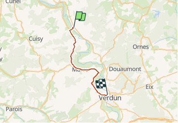

126 km | 139 km-effort


User


FREE GPS app for hiking
 SityTrail
IGN / Geographical institutes
SityTrail World
The world is yours!
Trail Other activity of 22 km to be discovered at Grand Est, Meuse, Consenvoye. This trail is proposed by 4426101738.
Electric bike

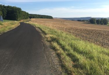
Walking

Moto cross
Walking