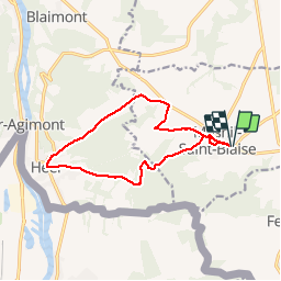


8 km | 9.4 km-effort


User


FREE GPS app for hiking
 SityTrail
IGN / Geographical institutes
SityTrail World
The world is yours!
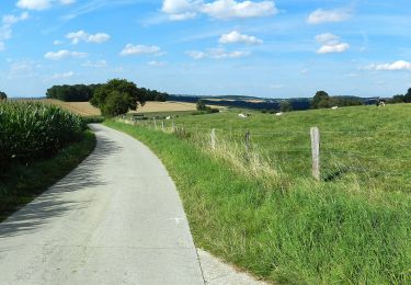
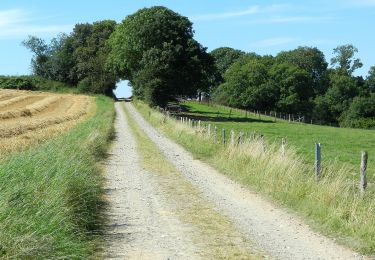
Trail Walking of 11.5 km to be discovered at Wallonia, Namur, Houyet. This trail is proposed by GerardBouche.
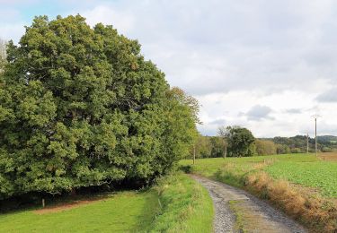
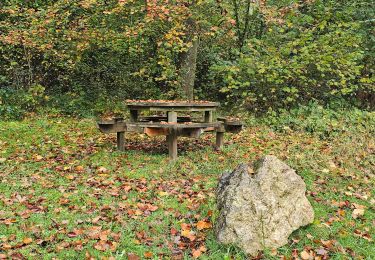
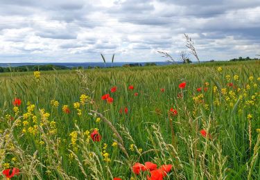
Très belle randonnée au départ de l'église par les campagnes de " Côré Monseu " avec vue sur la centale nucléaire de Chooz et descente jusqu'au village de Heer. Le retour par le village de vacances de " Massembre " et un joli tronçon en sous-bois à proximité du " Rau des Gués Silvaux ".
 - Photo 1")
 - Photo 2")
 - Photo 3")
 - Photo 4")

Walking

Walking

Walking

Walking
Walking
Walking
On foot
On foot