


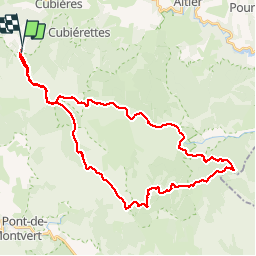


38 km | 47 km-effort


User


FREE GPS app for hiking
 SityTrail
IGN / Geographical institutes
SityTrail World
The world is yours!
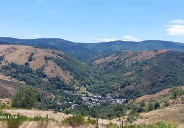
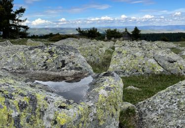
Trail Mountain bike of 41 km to be discovered at Occitania, Lozère, Mont Lozère et Goulet. This trail is proposed by phcol.
Superbe balade qui passe du versant nord puis Sud du Mont Lozère. Attention après Salarial,la poursuite sur le GR 7 : 2 km de galère. Il y a une alternative.

Mountain bike

Walking

Walking

Walking

Walking

Walking
Walking
Walking
Electric bike