


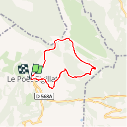

19.5 km | 33 km-effort


User


FREE GPS app for hiking
 SityTrail
IGN / Geographical institutes
SityTrail World
The world is yours!
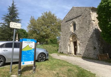
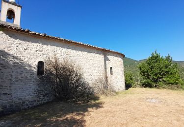
Trail Walking of 5.9 km to be discovered at Auvergne-Rhône-Alpes, Drôme, Le Poët-Sigillat. This trail is proposed by YVESBRULARD.
cette randonnée sur les pentes ensoleillées au dessus de Pöet-Sigillat permettent de mieux voir et comprendre les Baronnies, de la vallée de L'Ennuye au mont Ventoux
Walking

Walking

Walking
Nordic walking
Walking
Road bike
Walking

Walking

Walking