


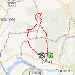

9.1 km | 17.9 km-effort


User


FREE GPS app for hiking
 SityTrail
IGN / Geographical institutes
SityTrail World
The world is yours!
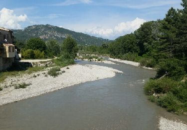
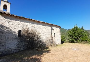
Trail Walking of 6.8 km to be discovered at Auvergne-Rhône-Alpes, Drôme, Curnier. This trail is proposed by YVESBRULARD.
Parking aire de la Toulonne ( D94 entre les Pilles et Curnier). Randonnée à éviter en période de chasse
Walking

Walking

Walking
Walking

Walking

Walking
Walking

Walking
Walking
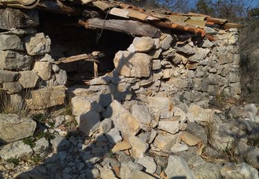
Le sentier est en fait interdit par les propriétaires, d’où nécessité de trouver des chemins alternatifs