


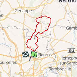


8.6 km | 9.3 km-effort

User GUIDE


FREE GPS app for hiking
 SityTrail
IGN / Geographical institutes
SityTrail World
The world is yours!
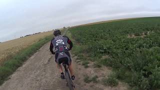
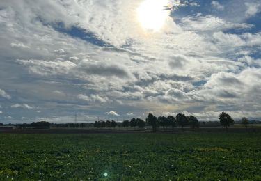
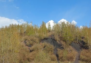
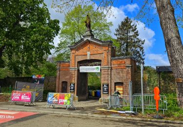
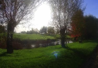
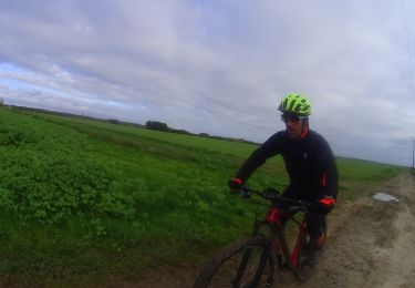
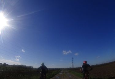
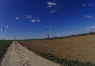
Trail Mountain bike of 46 km to be discovered at Wallonia, Hainaut, Charleroi. This trail is proposed by pascalou73.
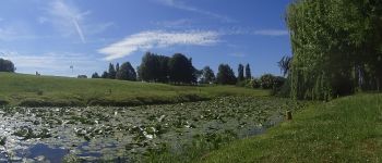
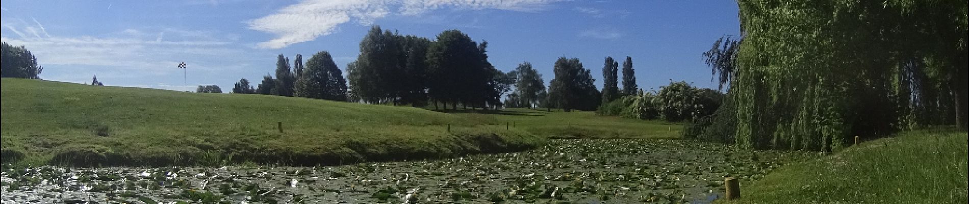
Voilà un VTT au départ de Ransart . Qui vas vous faire découvrir les très beaux sentiers sur la région et sur la région du Brabant Wallon .entre champ et forêt vous allez voir les villages Marbais et les belles petites ruelles et Mellery et la forêt de Villers-la-Ville et le golf de Sart-Dames-Avelines .Pour le retour il y a 2 possibilités le routé d'Heppignie à Ransart ou une ruelle ( - entretenue).


Walking
Walking
Walking
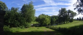
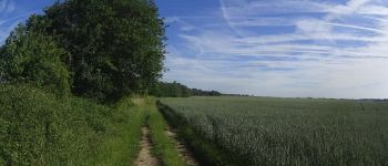
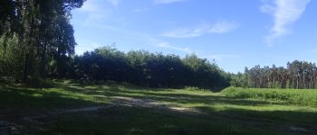
Mountain bike
Mountain bike
Mountain bike
Mountain bike
Mountain bike
Mountain bike