


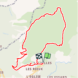


14.4 km | 27 km-effort


User


FREE GPS app for hiking
 SityTrail
IGN / Geographical institutes
SityTrail World
The world is yours!
Trail Walking of 11.5 km to be discovered at Auvergne-Rhône-Alpes, Savoy, Saint-Julien-Mont-Denis. This trail is proposed by mapetite.
17 juillet 2017
Boucle aucun balisage pas fréquenté
Ensoleillé
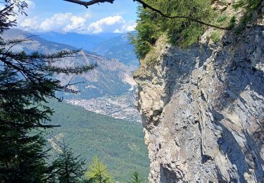
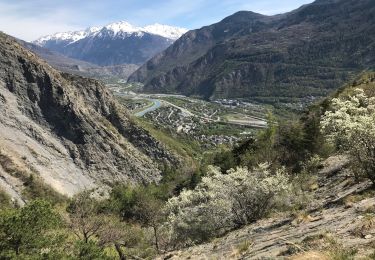
Montée par Plan du Cuir vous découvrirez avant Plan du Cuir des grosses pierres plates en bordure de la piste à gauche (Fossiles). Pause possible devant chalet de Plan du cuir.(La croix n'existe plus ) Belle vue lointaine sur les Écrins Briançonnais..Perron des encombres plus proche Continuez la piste
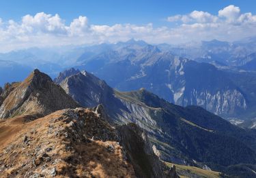
Sentier au bout de celle ci poursuivez un petit moment et obliquez A G puis monter sur sente pour atteindre la crête à droite ou monter dans l'alpage à une dépression poursuivez au Sommet (Rude Montée). ou avant le sommet prenez la sente à G..pour descendre vous dirigez à la base de la croix du Châtelard (Repas possible à l'abri du vent vers les rochers .Poursuivez droit en direction des crêtes descendez jusqu'au bois ne pas descendre le sentier que vous trouverez à droite le long de la crête (ici parfois vent violent)
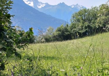
Arrivée au bois descendre la piste dirigez vous à G..et plus loin Chalet Costa Rossaz (noté sur la carte)
Poursuivre la piste en vous dirigeant vers Mt Denis par la petite Chapelle fermée proche de l'arrivée.


Walking
Mountain bike
Walking
Walking
Walking

Trail
Walking
Walking
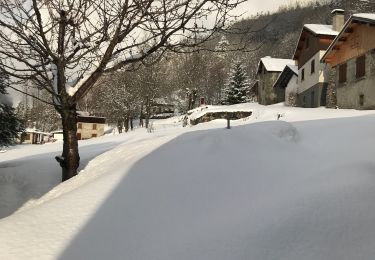
Snowshoes