


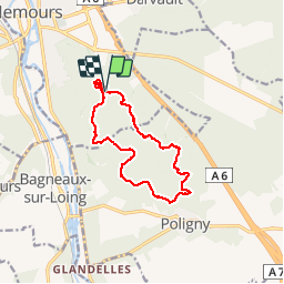


10.8 km | 13.2 km-effort

User


FREE GPS app for hiking
 SityTrail
IGN / Geographical institutes
SityTrail World
The world is yours!
Trail Walking of 12.4 km to be discovered at Ile-de-France, Seine-et-Marne, Nemours. This trail is proposed by randodan.
Sur les traces de la Polinoise.<br>
- Mercredi 26 juillet 2017 -<br><br>
La <b><a href="http://www.mairie-poligny77.fr/Les-Associations/Sports-Loisirs-Nature/La-Polinoise/la-polinoise.html" TARGET="_blank">"Polinoise"</a></b> est une épreuve Marche et VVT qui se déroule dans la forêt domaniale de Poligny - Nanteau . Je m'en suis inspiré pour la boucle du matin (merci "joelinou").<br><br>
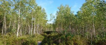
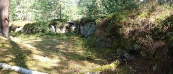
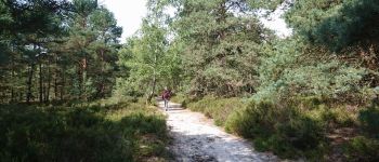
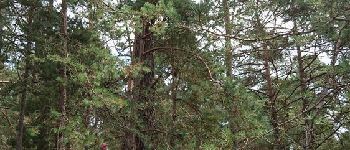
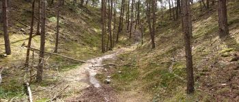
Départ du 2e parking sur la route de Poligny à 8h30 . 9h, sommes sur le GR13, et 5 mn après nous surplombons la Carrière de Pierre le Sault . 9h30, traversons un très jeune bois de bouleaux, le bouleau... on ne s'y attarde pas ;o). Un km plus loin, une pancarte nous signale que le GR a un nouveau tracé (tout droit), mais on n'en veut pas (prenons à gauche).<br>
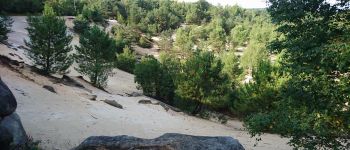
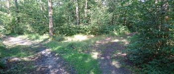
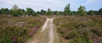
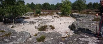
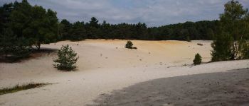
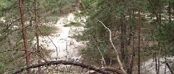
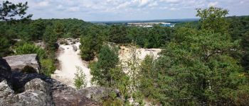
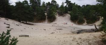
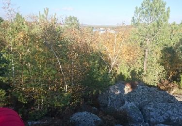
Cote 113 dans la Vallée des Chênes, cap sur le retour . A présent, on se dirige au GPS car les sentiers ne sont pas franchement indiqués sur l'IGN alors qu'il y a plein d'embranchements sur le terrain ! Un vrai parcours d'orientation ! Aux "Vignes des Loges", un petit front de taille, et là, pas facile de trouver le bon chemin . La 1ère "Mer de Sable" n'est en fait qu'une jolie petite lande avec un "creux" sableux au centre . La 2e, non nommée sur la carte, est bien plus réelle . Devant l'ancienne carrière sous les Courtins, la bonne option aurait été d'y descendre droit devant et surpasser sa pointe S.O.<br>
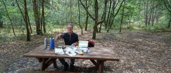
Midi et demi, confortablement attablés pour le pique-nique.<br>
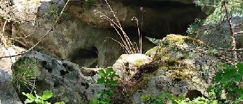
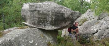
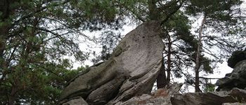
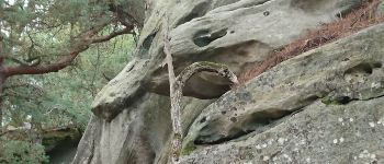
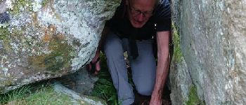
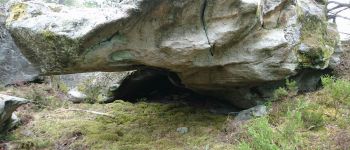
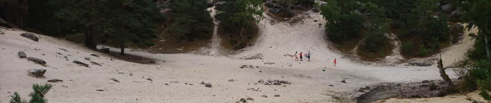
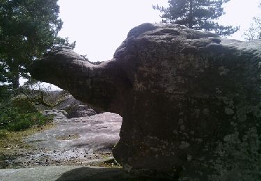
Une heure et demi, repartons pour un petit tour dans les rochers sur le massif entre les 2 parkings . La 3e Mer de Sable, la Tête de Singe, et pleins d'autres beaux rochers.<br>
14h50, de retour aux voitures.<br>
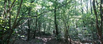
En résumé : 1ère partie du matin, pratiquement tout en forêt très ombragée (à part les bouleaux), 2e partie (retour) nettement plus dégagée avec les Mers de Sable . L'après midi fut principalement du rocher.<br>
JP,Da.


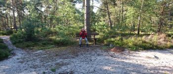
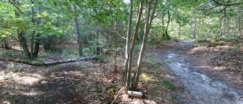
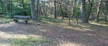
24 photos in total. Please click on a photo to see them all in the gallery.
Walking
On foot
Walking

Walking
Walking

Mountain bike
Walking
Other activity

Other activity