


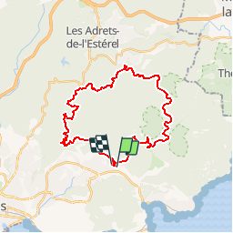


17.7 km | 25 km-effort

User GUIDE


FREE GPS app for hiking
 SityTrail
IGN / Geographical institutes
SityTrail World
The world is yours!
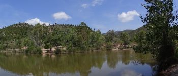
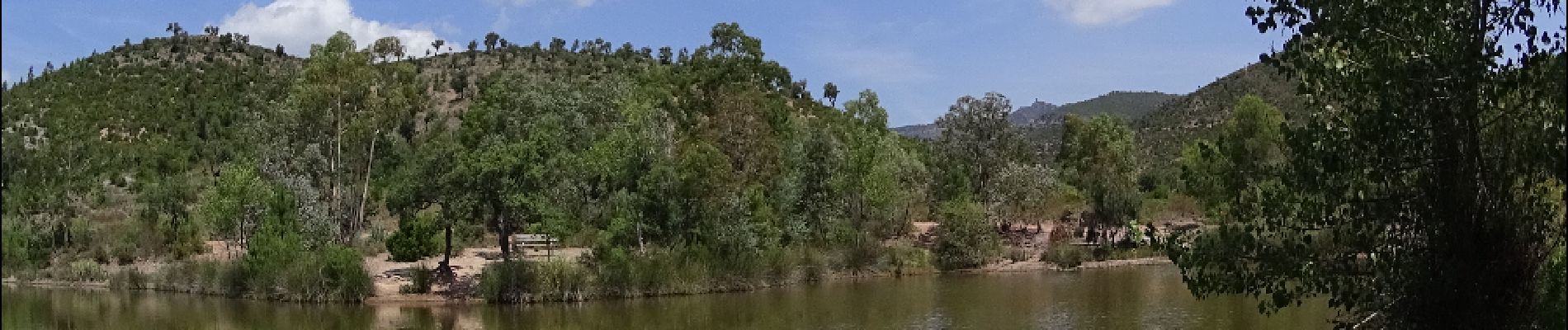
Trail Mountain bike of 33 km to be discovered at Provence-Alpes-Côte d'Azur, Var, Saint-Raphaël. This trail is proposed by pascalou73.
Un VTT sur les belles pistes de la forêt de l'Esterel qui aux files de la randonnée vas vous émerveiller avec son magnifique décor


Walking

Walking

Walking

Walking

Walking

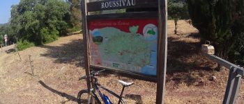
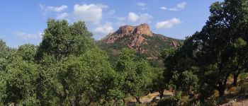
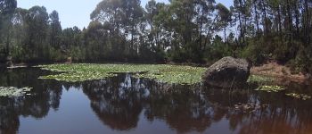
Mountain bike

Walking

Walking
Walking