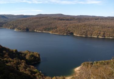
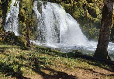
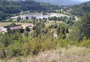
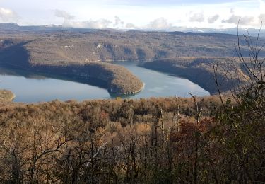
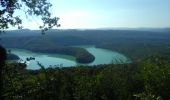
Trail Walking Cernon - Cernon-bords de l'Ain - Photo

Cernon-bords de l'Ain

 Bogapuki
Bogapuki

User

© OpenStreetMap contributors
Length
Length
12.7 km
Max alt
Max alt
707 m
Uphill gradient
Uphill gradient
310 m
Km-Effort
Km-Effort  
16.9 km
Min alt
Min alt
458 m
Downhill gradient
Downhill gradient
311 m
Boucle
Boucle
Yes
Creation date :
2018-11-25 09:18:56.451
Updated on :
2018-11-25 09:18:56.451

(1 Reviews)

Walking
Walking
3h42
Difficulty : Easy

Scan this QR Code to open this trail in the SityTrail application

FREE GPS app for hiking

Logo SityTrail SityTrail
IGN / Geographical institutes

Download SityTrail from the App Store Download SityTrail from Google Play

Logo SityTrail SityTrail World

The world is yours!

Download SityTrail from the App Store Download SityTrail from Google Play Download SityTrail on Huawei AppGallery

About

Trail Walking of 12.7 km to be discovered at Bourgogne-Franche-Comté, Jura, Cernon. This trail is proposed by Bogapuki.

Description

18 juillet 2017
Temps chaud et ensolellé.
Une très grande partie de la rando à l'ombre.
Privilégier le sens "bords de l'Ain"-"belvédère du Chatelet"; En partant le matin, déjeuner au belvédère vers midi (à condition de ne pas partir aux aurores.
Faible dénivelé sans aucune difficulté.
A faire même en famille

Elevation profile

Photos

Points of interest

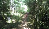
Point of interest Cernon - Point 1 - Photo
Bogapuki
CERNON 
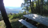
Point of interest Cernon - Pique nique - Photo
Bogapuki
CERNON 
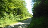
Point of interest Cernon - chemin - Photo
Bogapuki
CERNON 
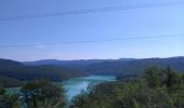
Point of interest Cernon - Panorama - Photo
Bogapuki
CERNON 
Point of interest Cernon - Point 5 - Photo
Bogapuki
CERNON 
Point of interest Cernon - Panorama - Photo
Bogapuki
CERNON 

Positioning

Country:
France
Region :
Bourgogne-Franche-Comté
Department/Province :
Jura
Municipality :
Cernon
Location:
Unknown
Start:(UTM)
703567 ; 5142381 (31T) N.

Comments

Please log in to post a review or rate the element


magnifique vue nous avons adorer


Trails nearby

Trail Walking Moirans-en-Montagne - Le Regardoir - Photo
Walking
GUIDE
David25400

Walking

Easy
Moirans-en-Montagne, Bourgogne-Franche-Comté, Jura, France
6.8 km | 10.3 km-effort
2h 21min
Yes
Trail Walking Martigna - rando a martgna dans le jura - Photo
Walking
colomb24

Walking

Easy
Martigna, Bourgogne-Franche-Comté, Jura, France
13.8 km | 18.3 km-effort
5h 7min
Yes
Trail Walking Jeurre - partis de jeurre ensuite la chapelle Saint Romain et la cascade de l enragé  - Photo
Walking
colomb24

Walking

Medium
Jeurre, Bourgogne-Franche-Comté, Jura, France
18 km | 25 km-effort
5h 9min
Yes
Trail Walking Vescles - Vescles Sous le pic d'oliferne  - Photo
Walking
Jackoyo

Walking

Medium
Vescles, Bourgogne-Franche-Comté, Jura, France
13.3 km | 18 km-effort
3h 5min
Yes
Trail Horseback riding Moirans-en-Montagne - Jura_moirans_J1 - Photo
Horseback riding
xavier.fetzer

Horseback riding

Medium
(1)
Moirans-en-Montagne, Bourgogne-Franche-Comté, Jura, France
22 km | 27 km-effort
3h 22min
Yes
Trail Walking Lect - voiglans - Photo
Walking
colomb24

Walking

Very easy
Lect, Bourgogne-Franche-Comté, Jura, France
18.6 km | 26 km-effort
5h 24min
Yes
Trail Walking Lect - Vouglans par Lect - Photo
Walking
Bogapuki

Walking

Easy
Lect, Bourgogne-Franche-Comté, Jura, France
7.6 km | 10.5 km-effort
2h 34min
Yes
Trail Other activity Arinthod - Arinthod - Photo
Other activity
dominiq

Other activity

Easy
(1)
Arinthod, Bourgogne-Franche-Comté, Jura, France
7.6 km | 10.7 km-effort
2h 19min
Yes
Trail Walking Cernon - Cernon: Belvedere du Châtelet  - Photo
Walking
HB01

Walking

Easy
Cernon, Bourgogne-Franche-Comté, Jura, France
9.6 km | 13.3 km-effort
2h 32min
Yes


Close
My subscriptions