


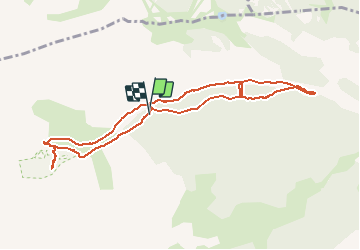

6 km | 10.4 km-effort


User


FREE GPS app for hiking
 SityTrail
IGN / Geographical institutes
SityTrail World
The world is yours!
Trail Walking of 9.6 km to be discovered at Provence-Alpes-Côte d'Azur, Hautes-Alpes, L'Argentière-la-Bessée. This trail is proposed by margotte.
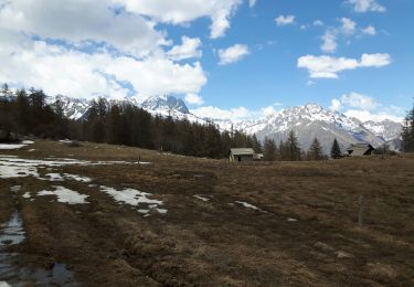
le parcours est très facile mais il faudrait limiter l'accès en voiture sauf pour personnes à mobilité réduite et les exploitants de la vallée.Malheureusement il n'y avait pas de chardon fleuris. Par contre les chardons sont en vérité de la famille des carottes!!A faire vers le 14 juillet.

Walking

Walking

On foot

Snowshoes

Walking

Walking
Walking
On foot
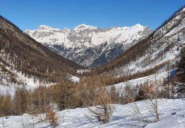
Snowshoes