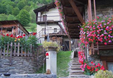
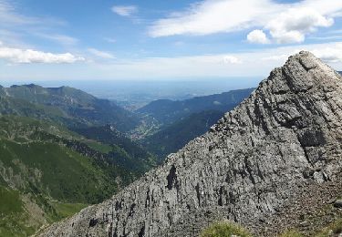
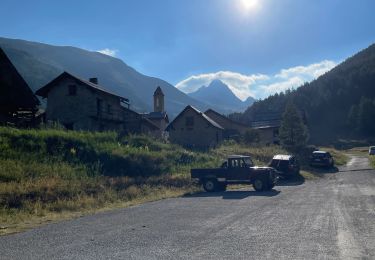
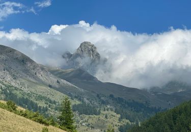
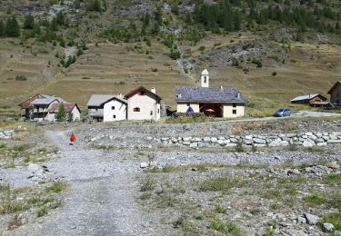
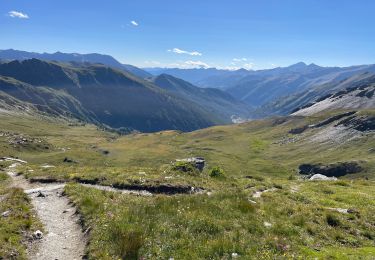
Trail Other activity Prali - OR-7591351--Bergerie Giulian:It-Lago verde-Refuge alpe plane-RAG - Photo

OR-7591351--Bergerie Giulian:It-Lago verde-Refuge alpe plane-RAG

© OpenStreetMap contributors
Length
Length
13 km
Max alt
Max alt
2898 m
Uphill gradient
Uphill gradient
784 m
Km-Effort
Km-Effort  
25 km
Min alt
Min alt
2084 m
Downhill gradient
Downhill gradient
1264 m
Boucle
Boucle
No
Creation date :
2017-07-03 00:00:00.0
Updated on :
2017-07-03 00:00:00.0

(0 Reviews)

Other activity
Other activity
--
Difficulty : Unknown

Scan this QR Code to open this trail in the SityTrail application

FREE GPS app for hiking

Logo SityTrail SityTrail

IGN / Geographical institutes

Download SityTrail from the App Store Download SityTrail from Google Play

Logo SityTrail SityTrail World

The world is yours!

Download SityTrail from the App Store Download SityTrail from Google Play Download SityTrail on Huawei AppGallery

About

Trail Other activity of 13 km to be discovered at Piemont, Torino, Prali. This trail is proposed by 4426101738.

Elevation profile

Positioning

Country:
Italy
Region :
Piemont
Department/Province :
Torino
Municipality :
Prali
Location:
Unknown
Start:(Dec)
Start:(UTM)
343461 ; 4965791 (32T) N.

Trails nearby

Trail On foot Bobbio Pellice - (SI E24) Villanova Pellice - Ghigo di Prali - Photo
On foot
GUIDE+

On foot

Difficult
Bobbio Pellice, Piemont, Torino, Italy
19 km | 38 km-effort
8h 31min
No
Trail Walking Abriès-Ristolas - col d'Urine et Maït d'Amunt - Photo
Walking
GUIDE
amiral13

Walking

Medium
Abriès-Ristolas, Provence-Alpes-Côte d'Azur, Hautes-Alpes, France
13.2 km | 26 km-effort
5h 56min
Yes
Trail Walking Abriès-Ristolas - Le Bois Noir - Photo
Walking
patrando49

Walking

Easy
(2)
Abriès-Ristolas, Provence-Alpes-Côte d'Azur, Hautes-Alpes, France
4.5 km | 6.8 km-effort
2h 0min
Yes
Trail Walking Abriès-Ristolas - Lago Verde - Photo
Walking
GUIDE
jouans

Walking

Very difficult
Abriès-Ristolas, Provence-Alpes-Côte d'Azur, Hautes-Alpes, France
18.1 km | 33 km-effort
7h 14min
Yes
Trail Walking Abriès-Ristolas - J9 Queyras 2022 - Photo
Walking
ETMU5496

Walking

Difficult
Abriès-Ristolas, Provence-Alpes-Côte d'Azur, Hautes-Alpes, France
18.8 km | 34 km-effort
5h 3min
Yes
Trail Walking Abriès-Ristolas - cols Malaure, de Bouchet et de Valpreveyre - Photo
Walking
GUIDE
amiral13

Walking

Medium
Abriès-Ristolas, Provence-Alpes-Côte d'Azur, Hautes-Alpes, France
15.2 km | 31 km-effort
4h 54min
Yes
Trail Walking Abriès-Ristolas - col d'urine - Photo
Walking
emileverschueren

Walking

Medium
(1)
Abriès-Ristolas, Provence-Alpes-Côte d'Azur, Hautes-Alpes, France
11.1 km | 18.7 km-effort
5h 39min
Yes
Trail Walking Abriès-Ristolas - Col Bric Bouchet - Photo
Walking
edevuyst

Walking

Difficult
Abriès-Ristolas, Provence-Alpes-Côte d'Azur, Hautes-Alpes, France
5.6 km | 13.4 km-effort
2h 0min
No
Trail Walking Abriès-Ristolas - J4 Queyras Bric Bouchet Refuge Lago Verde Col Vieux - Photo
Walking
GUIDE
jouans

Walking

Very difficult
Abriès-Ristolas, Provence-Alpes-Côte d'Azur, Hautes-Alpes, France
19.3 km | 36 km-effort
8h 10min
Yes


Close
My subscriptions