
TOUR DESLAVANDES A VALENSOLE

PATRICK8455
User

Length
14.7 km

Max alt
615 m

Uphill gradient
213 m

Km-Effort
17.5 km

Min alt
503 m

Downhill gradient
215 m
Boucle
Yes
Creation date :
2019-05-03 16:34:37.858
Updated on :
2019-05-03 16:34:37.907
4h26
Difficulty : Very easy

FREE GPS app for hiking
About
Trail Walking of 14.7 km to be discovered at Provence-Alpes-Côte d'Azur, Alpes-de-Haute-Provence, Valensole. This trail is proposed by PATRICK8455.
Description
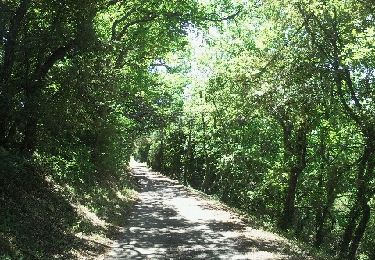
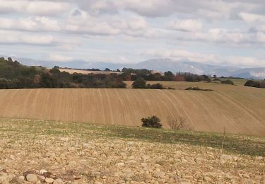
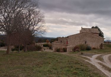
Balade autour des champs de lavandes en tout tranquillité.
période favorable de mi-juin à mi-juillet date de la Fête de la lavande
Positioning
Country:
France
Region :
Provence-Alpes-Côte d'Azur
Department/Province :
Alpes-de-Haute-Provence
Municipality :
Valensole
Location:
Unknown
Start:(Dec)
Start:(UTM)
741184 ; 4856709 (31T) N.
Comments
Trails nearby

Valensole 23.6.24


Walking
Medium
Valensole,
Provence-Alpes-Côte d'Azur,
Alpes-de-Haute-Provence,
France

15 km | 19.1 km-effort
4h 0min
Yes

nocturne du nouvel an 2025


Walking
Easy
Valensole,
Provence-Alpes-Côte d'Azur,
Alpes-de-Haute-Provence,
France

4.8 km | 5.8 km-effort
1h 32min
Yes

plateau de valensole . ravin des cognets . ravin de la combe


Walking
Easy
Valensole,
Provence-Alpes-Côte d'Azur,
Alpes-de-Haute-Provence,
France

11.2 km | 13.1 km-effort
4h 11min
Yes

Valensole - L'Adret de Notre Dame


Walking
Medium
Valensole,
Provence-Alpes-Côte d'Azur,
Alpes-de-Haute-Provence,
France

8 km | 9.6 km-effort
2h 26min
Yes

Allemagne-en-Provence


Walking
Medium
Allemagne-en-Provence,
Provence-Alpes-Côte d'Azur,
Alpes-de-Haute-Provence,
France

6.6 km | 9.4 km-effort
1h 58min
Yes

Valensole


Walking
Easy
Valensole,
Provence-Alpes-Côte d'Azur,
Alpes-de-Haute-Provence,
France

9.4 km | 11.5 km-effort
1h 42min
Yes

valensole. la savoye


Walking
Very easy
Valensole,
Provence-Alpes-Côte d'Azur,
Alpes-de-Haute-Provence,
France

6.4 km | 8 km-effort
1h 50min
Yes

Saint Martin de brome. la draille de la partie. peire amare


Walking
Medium
Saint-Martin-de-Brômes,
Provence-Alpes-Côte d'Azur,
Alpes-de-Haute-Provence,
France

10.9 km | 14.3 km-effort
3h 38min
Yes

Ravin de la Forge et la chapelle de la Trinité


Walking
Medium
Valensole,
Provence-Alpes-Côte d'Azur,
Alpes-de-Haute-Provence,
France

10.8 km | 13.4 km-effort
2h 54min
No


 SityTrail


un peu trop de cailloux