![](/images/other/stat-length.png)
![Trail Walking Büllingen - Manderfeld langs de Our - Photo](https://media.geolcdn.com/t/1900/400/ext.pjpeg?maxdim=2&url=https%3A%2F%2Fservices.sitytrail.com%2FGeolivesWS%2FDownloadMedia.ashx%3FTrailID%3D780303%26Media%3De747a43e-93c8-49c2-a2fd-b429011d2d85.jpg)
Manderfeld langs de Our
KoenV
User
![Length](/images/other/stat-length.png)
![Max alt](https://static1.geolcdn.com/siteimages/upload/files/1508320355ic_sort_altitude_max_24dp.png)
![Uphill gradient](https://static1.geolcdn.com/siteimages/upload/files/1508320355ic_sort_den_pos_24dp.png)
![Km-Effort](/images/other/stat-length.png)
![Min alt](https://static1.geolcdn.com/siteimages/upload/files/1508320355ic_sort_altitude_min_24dp.png)
![Downhill gradient](https://static1.geolcdn.com/siteimages/upload/files/1508320355ic_sort_den_neg_24dp.png)
![Boucle](https://static1.geolcdn.com/siteimages/upload/files/16400158638029165_repeat_loop_refresh_sync_direction_icon.png)
![Walking](https://static1.geolcdn.com/sitytour/trail-icons/101.png)
3h31
Difficulty : Medium
![Scan this QR Code to open this trail in the SityTrail application](https://capi.geolives.com/qq0zvz2zws4bq2lad0pu/sitytour/trails/780303/qr.png?size=200)
FREE GPS app for hiking
About
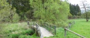
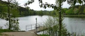
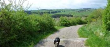
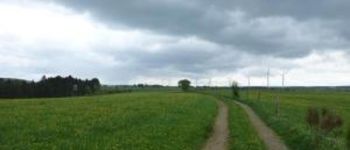
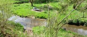
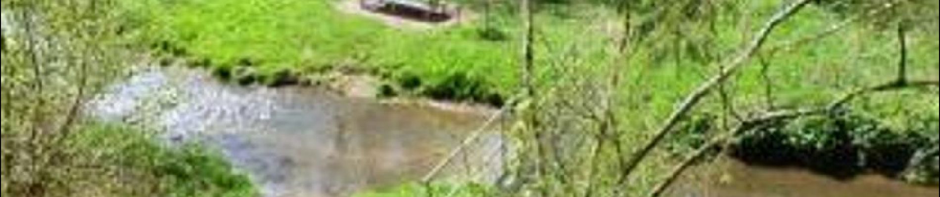
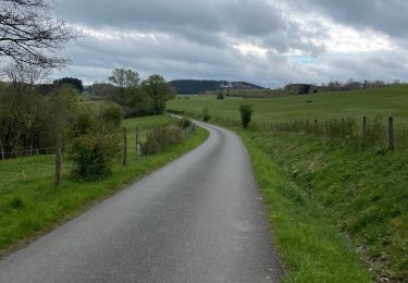
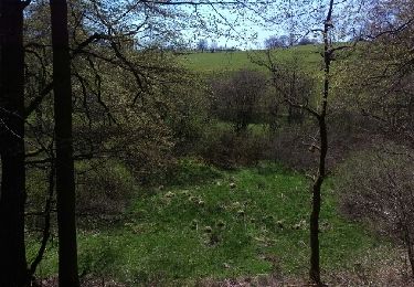
Trail Walking of 12.3 km to be discovered at Wallonia, Liège, Büllingen. This trail is proposed by KoenV.
Description
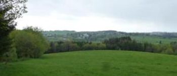
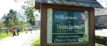
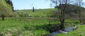
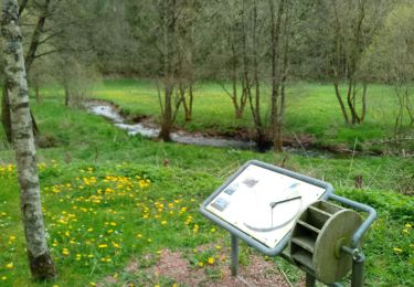
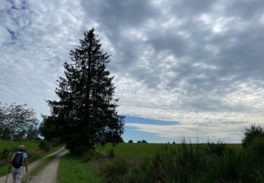
Vertrek aan de kerk van Manderfeld, parkeerplaatsen aanwezig. Wandeling doorheen het prachtige Belgisch- Duitse Eifellandschap, langsheen de oevers van de Our, met weidse uitzichten. Tijdens deze wandeling zijn er regelmatig zitbanken zodat af en toe rusten of picknicken mogelijk is. Eetmogelijkheid aan het vertrek- of aankomstpunt "Eifelerhof" in Manderfeld of in Auw
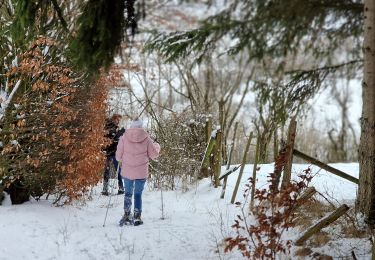
Positioning
Comments
Trails nearby
![Trail Snowshoes Büllingen - Manderfeld (PVDB) - Photo](https://media.geolcdn.com/t/375/260/b5720bc8-7e16-46db-8525-f855b770a68c.jpg&format=jpg&maxdim=2)
![Snowshoes Snowshoes](https://static1.geolcdn.com/sitytour/trail-icons/504.png)
Snowshoes
![](/images/other/stat-length.png)
![](https://static1.geolcdn.com/siteimages/upload/files/16400158638029165_repeat_loop_refresh_sync_direction_icon.png)
![Trail On foot Büllingen - GrWandArd 15 Büchholz de pracht van het NP Eifel - Photo](https://media.geolcdn.com/t/375/260/0ae2ff0c-760f-408b-9aeb-c9e415472963.jpg&format=jpg&maxdim=2)
![On foot On foot](https://static1.geolcdn.com/sitytour/trail-icons/100.png)
On foot
![](/images/other/stat-length.png)
![](https://static1.geolcdn.com/siteimages/upload/files/16400158638029165_repeat_loop_refresh_sync_direction_icon.png)
![Trail Walking Büllingen - wassererlebnispfad - Photo](https://media.geolcdn.com/t/375/260/f0c8da52-43c7-48ec-a405-ca86743d74c1.jpg&format=jpg&maxdim=2)
![Walking Walking](https://static1.geolcdn.com/sitytour/trail-icons/101.png)
Walking
![](/images/other/stat-length.png)
![](https://static1.geolcdn.com/siteimages/upload/files/16400158638029165_repeat_loop_refresh_sync_direction_icon.png)
![Trail Walking Büllingen - Panorama Medendoef - Photo](https://media.geolcdn.com/t/375/260/15c7e70e-f172-4e7d-8119-2386986dbb50.jpg&format=jpg&maxdim=2)
![Walking Walking](https://static1.geolcdn.com/sitytour/trail-icons/101.png)
Walking
![](/images/other/stat-length.png)
![](https://static1.geolcdn.com/siteimages/upload/files/16400158638029165_repeat_loop_refresh_sync_direction_icon.png)
![Trail Walking Amel - Herresbach - Photo](https://media.geolcdn.com/t/375/260/36e68325-3115-448f-9d2b-5df1ad3dc287.jpg&format=jpg&maxdim=2)
![Walking Walking](https://static1.geolcdn.com/sitytour/trail-icons/101.png)
![Trail Running Büllingen - Haus der Stille - Photo](https://media.geolcdn.com/t/375/260/e9b2879b-5882-4613-a403-4a5fcb141089.jpg&format=jpg&maxdim=2)
![Running Running](https://static1.geolcdn.com/sitytour/trail-icons/103.png)
Running
![](/images/other/stat-length.png)
![](https://static1.geolcdn.com/siteimages/upload/files/16400158638029165_repeat_loop_refresh_sync_direction_icon.png)
![Trail Walking Saint Vith - Andler 7 Km - Photo](https://media.geolcdn.com/t/375/260/2e6fd033-933b-45db-9026-8d48e5a0b27c.jpg&format=jpg&maxdim=2)
![Walking Walking](https://static1.geolcdn.com/sitytour/trail-icons/101.png)
![Trail Running Büllingen - Huis der stille - Photo](https://media.geolcdn.com/t/375/260/ext.jpg?maxdim=2&url=https%3A%2F%2Fstatic1.geolcdn.com%2Fsiteimages%2Fupload%2Ffiles%2F1524743154running.jpg)
![Running Running](https://static1.geolcdn.com/sitytour/trail-icons/103.png)
Running
![](/images/other/stat-length.png)
![](https://static1.geolcdn.com/siteimages/upload/files/16400158638029165_repeat_loop_refresh_sync_direction_icon.png)
![Trail Other activity Büllingen - Holzheim o - Photo](https://media.geolcdn.com/t/375/260/ext.jpg?maxdim=2&url=https%3A%2F%2Fservices.sitytrail.com%2FGeolivesWS%2FDownloadMedia.ashx%3FTrailID%3D564595%26Media%3Dfix__20160506134821.jpg)
![Other activity Other activity](https://static1.geolcdn.com/sitytour/trail-icons/900.png)
Other activity
![](/images/other/stat-length.png)
![](https://static1.geolcdn.com/siteimages/upload/files/16400158638029165_repeat_loop_refresh_sync_direction_icon.png)