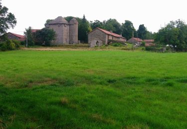
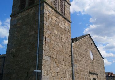
Trail Walking Tence - Tence-170617 - Tence-Besset - Photo

Tence-170617 - Tence-Besset

 randodan
randodan

User

© OpenStreetMap contributors
Length
Length
7.7 km
Max alt
Max alt
900 m
Uphill gradient
Uphill gradient
175 m
Km-Effort
Km-Effort  
10 km
Min alt
Min alt
827 m
Downhill gradient
Downhill gradient
174 m
Boucle
Boucle
Yes
Creation date :
2017-06-23 00:00:00.0
Updated on :
2017-06-23 00:00:00.0

(0 Reviews)

Walking
Walking
2h20
Difficulty : Easy

Scan this QR Code to open this trail in the SityTrail application

FREE GPS app for hiking

Logo SityTrail SityTrail

IGN / Geographical institutes

Download SityTrail from the App Store Download SityTrail from Google Play

Logo SityTrail SityTrail World

The world is yours!

Download SityTrail from the App Store Download SityTrail from Google Play Download SityTrail on Huawei AppGallery

About

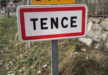
Trail Walking of 7.7 km to be discovered at Auvergne-Rhône-Alpes, Haute-Loire, Tence. This trail is proposed by randodan.

Description

Tence, 17 juin 2017<br>
- Boucle VVF-Tence et Ch. Besset -<br>
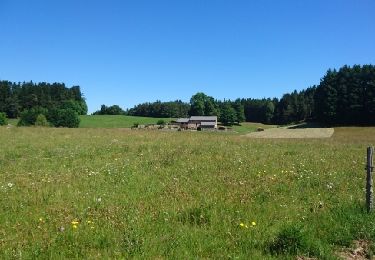
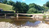
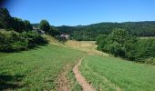
8h40, départ du VVF . Prise de renseignements à l'OT . Cherchons le sentier des remparts . Le voilà après la passerelle sur le Lignon : une traboule qui nous mène au Chemin de la Meyre . Cherchons ensuite un temple - qu'on ne trouvera pas -, tandis que la route nous ramène au VVF à 10h.<br>
Pas assez marché, repartons pour un tour pour voir le Château du Besset . Pas possible de le contourner et l'autre sentier vers Brûlefer est barré par au moins 3 clôtures, demi-tour . Retour au VVF à 11h.<br>
4 participants (Jo,Ca,Ch,Da).

Elevation profile

Photos

Points of interest

Positioning

Country:
France
Region :
Auvergne-Rhône-Alpes
Department/Province :
Haute-Loire
Municipality :
Tence
Location:
Unknown
Start:(UTM)
600887 ; 4995564 (31T) N.

Trails nearby

Trail Walking Chenereilles - Chenereilles, Lac de la Valette  - Photo
Walking
Gegetop

Walking

Medium
Chenereilles, Auvergne-Rhône-Alpes, Haute-Loire, France
18.7 km | 24 km-effort
4h 15min
Yes
Trail Walking Chenereilles - Chenereilles, le château de Joux  - Photo
Walking
Gegetop

Walking

Medium
Chenereilles, Auvergne-Rhône-Alpes, Haute-Loire, France
12.3 km | 16.6 km-effort
3h 5min
Yes
Trail Walking Le Chambon-sur-Lignon - Tence-170623 - CreuxLoup-RetourVVF - Photo
Walking
randodan

Walking

Easy
Le Chambon-sur-Lignon, Auvergne-Rhône-Alpes, Haute-Loire, France
6.3 km | 8 km-effort
1h 40min
No
Trail Walking Tence - Tence-170621 - CreuxLoup-Beaudors - Photo
Walking
randodan

Walking

Easy
Tence, Auvergne-Rhône-Alpes, Haute-Loire, France
9.8 km | 13.6 km-effort
3h 0min
No
Trail Walking Tence - Tence-170618 - RocheDruidique-Mazeaux - Photo
Walking
randodan

Walking

Easy
Tence, Auvergne-Rhône-Alpes, Haute-Loire, France
9.2 km | 12.2 km-effort
2h 40min
No
Trail Other activity Tence - autour de tence - Photo
Other activity
olivier4307

Other activity

Very easy
Tence, Auvergne-Rhône-Alpes, Haute-Loire, France
26 km | 33 km-effort
3h 11min
No
Trail Walking Mazet-Saint-Voy - Salettes et Mazalibran - Photo
Walking
mallovon

Walking

Medium
Mazet-Saint-Voy, Auvergne-Rhône-Alpes, Haute-Loire, France
8.8 km | 11.9 km-effort
2h 30min
Yes
Trail Walking Tence - Tence (13 km - D. 330 m) - Photo
Walking
Thomasdanielle

Walking

Difficult
Tence, Auvergne-Rhône-Alpes, Haute-Loire, France
13.4 km | 17.8 km-effort
4h 18min
Yes
Trail Road bike Le Chambon-sur-Lignon - 07,Chambon sur lignon Annonay vélo 21 08 21 - Photo
Road bike
GUIDE
randodyssée

Road bike

Medium
Le Chambon-sur-Lignon, Auvergne-Rhône-Alpes, Haute-Loire, France
73 km | 89 km-effort
6h 17min
No


Close
My subscriptions